Distance to Miracle Valley, Arizona

Calculating Your Route
Just a moment while we process your request...
Location Information
-
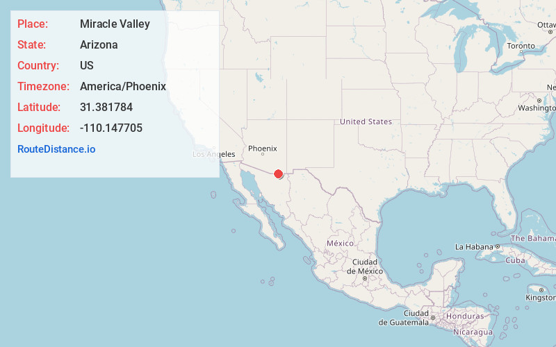
Full AddressMiracle Valley, AZ 85615
-
Coordinates31.3817841, -110.1477047
-
LocationMiracle Valley , Arizona , US
-
TimezoneAmerica/Phoenix
-
Current Local Time11:50:06 AM America/PhoenixTuesday, June 24, 2025
-
Page Views0
About Miracle Valley
Miracle Valley is a census-designated place in the southern portion of Cochise County in the state of Arizona, United States. It lies approximately 17 miles to the southeast of the city of Sierra Vista, along Arizona State Highway 92. The population of Miracle Valley as of the 2010 U.S. Census was 644.


Nearby Places
Found 10 places within 50 miles

Sierra Vista Southeast
6.5 mi
10.5 km
Sierra Vista Southeast, AZ
Get directions

Naco
12.2 mi
19.6 km
Naco, AZ
Get directions

Bisbee
13.7 mi
22.0 km
Bisbee, AZ 85603
Get directions

Sierra Vista
14.8 mi
23.8 km
Sierra Vista, AZ
Get directions

Huachuca City
20.3 mi
32.7 km
Huachuca City, AZ 85616
Get directions

Tombstone
23.4 mi
37.7 km
Tombstone, AZ
Get directions

Whetstone
24.9 mi
40.1 km
Whetstone, AZ
Get directions

Pirtleville
34.6 mi
55.7 km
Pirtleville, AZ
Get directions

Douglas
35.6 mi
57.3 km
Douglas, AZ 85607
Get directions

Sonoita
36.3 mi
58.4 km
Sonoita, AZ 85637
Get directions
Location Links
Local Weather
Weather Information
Coming soon!
Location Map
Static map view of Miracle Valley, Arizona
Browse Places by Distance
Places within specific distances from Miracle Valley
Short Distances
Long Distances
Click any distance to see all places within that range from Miracle Valley. Distances shown in miles (1 mile ≈ 1.61 kilometers).