Distance to Mixon, Texas

Calculating Your Route
Just a moment while we process your request...
Location Information
-
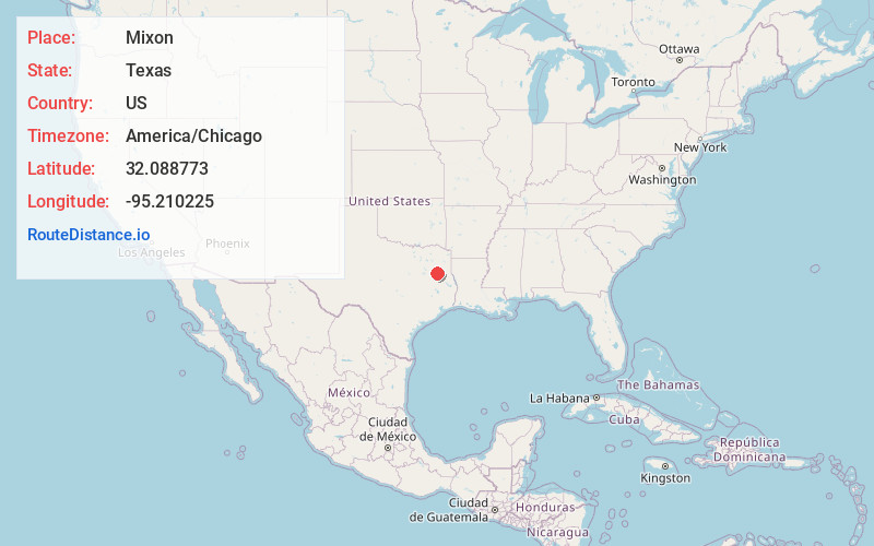
Full AddressMixon, TX 75789
-
Coordinates32.0887726, -95.2102252
-
LocationMixon , Texas , US
-
TimezoneAmerica/Chicago
-
Current Local Time3:45:05 AM America/ChicagoSaturday, June 14, 2025
-
Page Views0
About Mixon
Mixon is a small unincorporated community in northern Cherokee County, Texas, United States. According to the Handbook of Texas, the community had a population of 50 in 2000. It is located within the Tyler-Jacksonville combined statistical area.
Nearby Places
Found 10 places within 50 miles

Mt Selman
4.6 mi
7.4 km
Mt Selman, TX 75757
Get directions
Tecula
4.8 mi
7.7 km
Tecula, TX 75766
Get directions
Troup
6.5 mi
10.5 km
Troup, TX 75789
Get directions
Walnut Grove
6.6 mi
10.6 km
Walnut Grove, TX 75703
Get directions
Blackjack
6.7 mi
10.8 km
Blackjack, TX 75766
Get directions

Bullard
7.3 mi
11.7 km
Bullard, TX
Get directions
Mittie
8.2 mi
13.2 km
Mittie, Jacksonville, TX 75766
Get directions
Griffin
8.6 mi
13.8 km
Griffin, TX 75789
Get directions

Jacksonville
9.3 mi
15.0 km
Jacksonville, TX 75766
Get directions

Whitehouse
9.6 mi
15.4 km
Whitehouse, TX 75791
Get directions
Location Links
Local Weather
Weather Information
Coming soon!
Location Map
Static map view of Mixon, Texas
Browse Places by Distance
Places within specific distances from Mixon
Short Distances
Long Distances
Click any distance to see all places within that range from Mixon. Distances shown in miles (1 mile ≈ 1.61 kilometers).