Distance to Mize, Kentucky

Calculating Your Route
Just a moment while we process your request...
Location Information
-
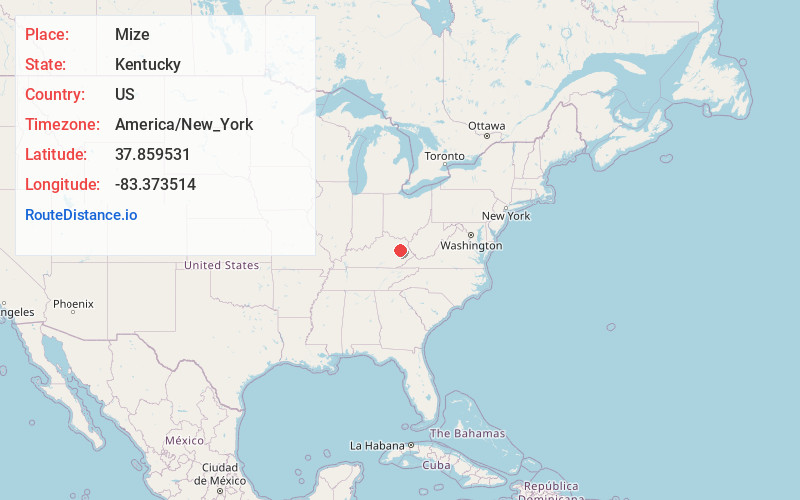
Full AddressMize, KY 41425
-
Coordinates37.8595311, -83.3735144
-
LocationMize , Kentucky , US
-
TimezoneAmerica/New_York
-
Current Local Time4:27:03 PM America/New_YorkTuesday, July 1, 2025
-
Page Views0
About Mize
Mize is an unincorporated community in Morgan County, Kentucky, United States. It lies along U.S. Route 460 and Kentucky Route 203, southwest of the city of West Liberty, the county seat of Morgan County. Its elevation is 817 feet. It has a post office with the ZIP code 41352.
Nearby Places
Found 10 places within 50 miles

Grassy Creek
1.6 mi
2.6 km
Grassy Creek, KY 41472
Get directions
Pekin
1.6 mi
2.6 km
Pekin, KY 41425
Get directions
Nickell
3.1 mi
5.0 km
Nickell, KY 41352
Get directions
Murphyfork
3.2 mi
5.1 km
Murphyfork, KY 41332
Get directions
Bonny
3.4 mi
5.5 km
Bonny, KY 41425
Get directions
Ezel
4.5 mi
7.2 km
Ezel, KY 41425
Get directions
Hazel Green
4.9 mi
7.9 km
Hazel Green, KY 41332
Get directions
Sellars
5.1 mi
8.2 km
Sellars, KY 41352
Get directions
Maytown
5.4 mi
8.7 km
Maytown, KY 41425
Get directions
Liberty Rd
5.4 mi
8.7 km
Liberty Rd, West Liberty, KY 41472
Get directions
Location Links
Local Weather
Weather Information
Coming soon!
Location Map
Static map view of Mize, Kentucky
Browse Places by Distance
Places within specific distances from Mize
Short Distances
Long Distances
Click any distance to see all places within that range from Mize. Distances shown in miles (1 mile ≈ 1.61 kilometers).