Distance to Monclova, Ohio

Calculating Your Route
Just a moment while we process your request...
Location Information
-
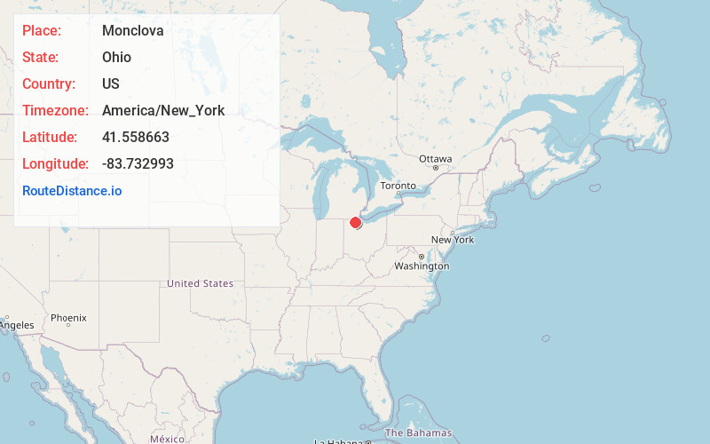
Full AddressMonclova, OH 43542
-
Coordinates41.5586632, -83.7329931
-
LocationMonclova , Ohio , US
-
TimezoneAmerica/New_York
-
Current Local Time1:33:23 AM America/New_YorkMonday, June 30, 2025
-
Page Views0
About Monclova
Monclova is an unincorporated community in central Monclova Township, Lucas County, Ohio, United States. It has a post office with the ZIP code 43542.


Nearby Places
Found 10 places within 50 miles

Waterville
4.1 mi
6.6 km
Waterville, OH 43566
Get directions

Maumee
4.1 mi
6.6 km
Maumee, OH
Get directions

Holland
4.5 mi
7.2 km
Holland, OH 43528
Get directions

Whitehouse
4.6 mi
7.4 km
Whitehouse, OH
Get directions

Perrysburg
5.5 mi
8.9 km
Perrysburg, OH 43551
Get directions

Haven Park
5.8 mi
9.3 km
Haven Park, Springfield Township, OH 43528
Get directions
Hull Prairie
6.2 mi
10.0 km
Hull Prairie, Haskins, OH 43525
Get directions
Pheasant Run
6.2 mi
10.0 km
Pheasant Run, Perrysburg, OH 43551
Get directions
Haskins
6.6 mi
10.6 km
Haskins, OH
Get directions

Swanton
8.4 mi
13.5 km
Swanton, OH 43558
Get directions
Location Links
Local Weather
Weather Information
Coming soon!
Location Map
Static map view of Monclova, Ohio
Browse Places by Distance
Places within specific distances from Monclova
Short Distances
Long Distances
Click any distance to see all places within that range from Monclova. Distances shown in miles (1 mile ≈ 1.61 kilometers).