Distance to Monkey Run, Arkansas

Calculating Your Route
Just a moment while we process your request...
Location Information
-
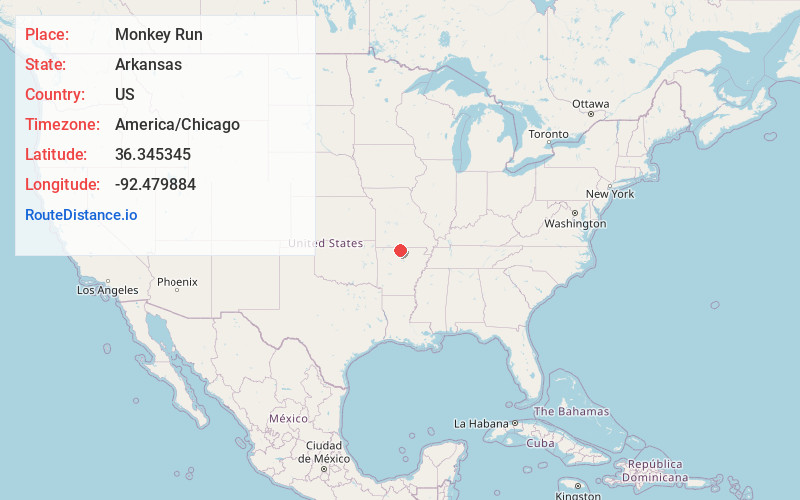
Full AddressMonkey Run, AR 72635
-
Coordinates36.3453451, -92.4798835
-
LocationMonkey Run , Arkansas , US
-
TimezoneAmerica/Chicago
-
Current Local Time3:00:15 PM America/ChicagoWednesday, June 25, 2025
-
Page Views0
About Monkey Run
Monkey Run is an unincorporated community in Baxter County, Arkansas, United States. The community is on Arkansas Highway 126 approximately 1.5 mile south of the Ozark Regional Airport and 4.5 miles west of Mountain Home via Arkansas Highway 178.
Nearby Places
Found 10 places within 50 miles

Whiteville
1.9 mi
3.1 km
Whiteville, AR 72635
Get directions
Midway
2.9 mi
4.7 km
Midway, AR
Get directions
Colfax
4.0 mi
6.4 km
Colfax, AR 72653
Get directions

Lakeview
4.0 mi
6.4 km
Lakeview, AR 72642
Get directions

Gassville
4.0 mi
6.4 km
Gassville, AR 72635
Get directions

Mountain Home
5.3 mi
8.5 km
Mountain Home, AR
Get directions

Cotter
6.1 mi
9.8 km
Cotter, AR
Get directions

Bull Shoals
6.3 mi
10.1 km
Bull Shoals, AR 72619
Get directions

Flippin
7.6 mi
12.2 km
Flippin, AR
Get directions

Oakland
9.5 mi
15.3 km
Oakland, AR 72661
Get directions
Location Links
Local Weather
Weather Information
Coming soon!
Location Map
Static map view of Monkey Run, Arkansas
Browse Places by Distance
Places within specific distances from Monkey Run
Short Distances
Long Distances
Click any distance to see all places within that range from Monkey Run. Distances shown in miles (1 mile ≈ 1.61 kilometers).