Distance to Mono Mills, California

Calculating Your Route
Just a moment while we process your request...
Location Information
-
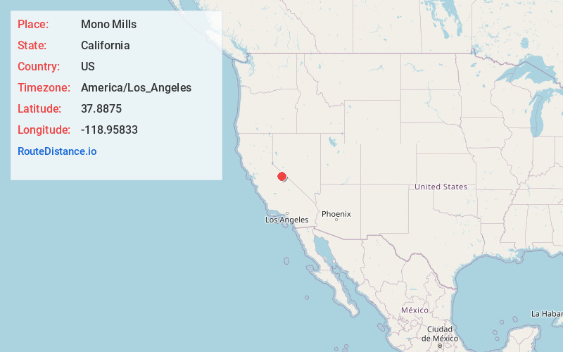
Full AddressMono Mills, CA
-
Coordinates37.8875, -118.95833
-
LocationMono Mills , California , US
-
TimezoneAmerica/Los_Angeles
-
Current Local Time12:25:45 AM America/Los_AngelesFriday, May 30, 2025
-
Page Views0
About Mono Mills
Mono Mills is a ghost town in Mono County, California. It is located 9.5 miles east-southeast of Lee Vining, at an elevation of 7356 feet. Mono Mills has nearly vanished. Its site is along California State Route 120, 9.1 miles east from the junction with U.S. Route 395.


Nearby Places
Found 10 places within 50 miles

Crestview
9.6 mi
15.4 km
Crestview, CA 93546
Get directions

June Lake
9.8 mi
15.8 km
June Lake, CA 93529
Get directions

Lee Vining
10.1 mi
16.3 km
Lee Vining, CA 93541
Get directions

Mono City
15.1 mi
24.3 km
Mono City, CA 93541
Get directions

Mammoth Lakes
16.5 mi
26.6 km
Mammoth Lakes, CA 93546
Get directions

Lake Mary
19.8 mi
31.9 km
Lake Mary, Mammoth Lakes, CA 93546
Get directions

Bodie
22.7 mi
36.5 km
Bodie, CA
Get directions

McGee Creek
23.0 mi
37.0 km
McGee Creek, CA 93546
Get directions

Lake Crowley
23.0 mi
37.0 km
Lake Crowley, California
Get directions
Aspen Springs
26.6 mi
42.8 km
Aspen Springs, CA 93546
Get directions
Location Links
Local Weather
Weather Information
Coming soon!
Location Map
Static map view of Mono Mills, California
Browse Places by Distance
Places within specific distances from Mono Mills
Short Distances
Long Distances
Click any distance to see all places within that range from Mono Mills. Distances shown in miles (1 mile ≈ 1.61 kilometers).