Distance to Monroe Township, Indiana

Calculating Your Route
Just a moment while we process your request...
Location Information
-
Full AddressMonroe Township, IN
-
Coordinates40.248276, -85.6640365
-
LocationMonroe Township , Indiana , US
-
TimezoneAmerica/Indianapolis
-
Page Views0
About Monroe Township
Monroe Township is one of fourteen townships in Madison County, Indiana, United States. In the 2010 census, its population was 8,786 and it contained 4,098 housing units.
Nearby Places
Found 10 places within 50 miles

Alexandria
1.1 mi
1.8 km
Alexandria, IN 46001
Get directions

Orestes
3.7 mi
6.0 km
Orestes, IN
Get directions
Dundee
5.1 mi
8.2 km
Dundee, Pipe Creek Township, IN 46001
Get directions

Summitville
6.3 mi
10.1 km
Summitville, IN 46070
Get directions
Frankton
6.4 mi
10.3 km
Frankton, IN 46044
Get directions
Reed Station
8.0 mi
12.9 km
Reed Station, Yorktown, IN 47304
Get directions
Country Club Heights
8.9 mi
14.3 km
Country Club Heights, IN 46011
Get directions
Woodlawn Heights
9.1 mi
14.6 km
Woodlawn Heights, IN 46011
Get directions
South Elwood
9.4 mi
15.1 km
South Elwood, Elwood, IN 46036
Get directions

Elwood
9.6 mi
15.4 km
Elwood, IN 46036
Get directions
Location Links
Local Weather
Weather Information
Coming soon!
Location Map
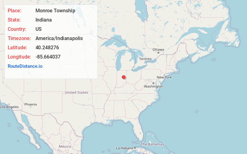
Static map view of Monroe Township, Indiana
Browse Places by Distance
Places within specific distances from Monroe Township
Short Distances
Long Distances
Click any distance to see all places within that range from Monroe Township. Distances shown in miles (1 mile ≈ 1.61 kilometers).