Distance to and from Monroeville, New Jersey
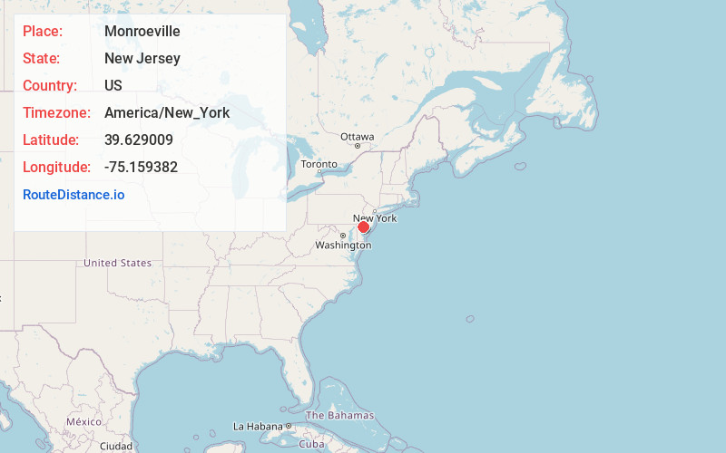
Monroeville, Upper Pittsgrove, NJ 08343
Upper Pittsgrove
New Jersey
US
America/New_York
Location Information
-
Full AddressMonroeville, Upper Pittsgrove, NJ 08343
-
Coordinates39.6290092, -75.1593816
-
NeighborhoodMonroeville
-
LocationUpper Pittsgrove , New Jersey , US
-
TimezoneAmerica/New_York
-
Current Local Time3:15:48 PM America/New_YorkSunday, May 4, 2025
-
Page Views0
Directions to Nearest Cities
About Monroeville
Monroeville is an unincorporated community located within portions of Elk Township in Gloucester County and Upper Pittsgrove Township in Salem County, in the U.S. state of New Jersey. The area is served as United States Postal Service ZIP Code 08343. Monroeville is mostly filled with wooded areas and farms.
Nearby Places
Found 10 places within 50 miles

Elmer
2.4 mi
3.9 km
Elmer, NJ 08318
Get directions

Upper Pittsgrove
3.8 mi
6.1 km
Upper Pittsgrove, NJ
Get directions
Clayton
4.2 mi
6.8 km
Clayton, NJ
Get directions

Elk
4.4 mi
7.1 km
Elk, NJ
Get directions
Palatine
5.3 mi
8.5 km
Palatine, Pittsgrove, NJ 08318
Get directions

Glassboro
5.7 mi
9.2 km
Glassboro, NJ
Get directions
Ballingers Mill
6.9 mi
11.1 km
Ballingers Mill, Alloway Township, NJ 08318
Get directions

Pittsgrove
7.1 mi
11.4 km
Pittsgrove, NJ 08318
Get directions
Six Points
7.3 mi
11.7 km
Six Points, Pittsgrove, NJ 08318
Get directions

Pitman
7.4 mi
11.9 km
Pitman, NJ 08071
Get directions
Elmer
2.4 mi
3.9 km
Elmer, NJ 08318
Upper Pittsgrove
3.8 mi
6.1 km
Upper Pittsgrove, NJ
Clayton
4.2 mi
6.8 km
Clayton, NJ
Elk
4.4 mi
7.1 km
Elk, NJ
Palatine
5.3 mi
8.5 km
Palatine, Pittsgrove, NJ 08318
Glassboro
5.7 mi
9.2 km
Glassboro, NJ
Ballingers Mill
6.9 mi
11.1 km
Ballingers Mill, Alloway Township, NJ 08318
Pittsgrove
7.1 mi
11.4 km
Pittsgrove, NJ 08318
Six Points
7.3 mi
11.7 km
Six Points, Pittsgrove, NJ 08318
Pitman
7.4 mi
11.9 km
Pitman, NJ 08071
Location Links
Local Weather
Weather Information
Coming soon!
Location Map
Static map view of Monroeville, New Jersey
Browse Places by Distance
Places within specific distances from Monroeville
Short Distances
Long Distances
Click any distance to see all places within that range from Monroeville. Distances shown in miles (1 mile ≈ 1.61 kilometers).