Distance to Montezuma Creek, Utah

Calculating Your Route
Just a moment while we process your request...
Location Information
-
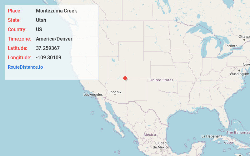
Full AddressMontezuma Creek, UT 84534
-
Coordinates37.259367, -109.3010902
-
LocationMontezuma Creek , Utah , US
-
TimezoneAmerica/Denver
-
Current Local Time2:11:22 AM America/DenverMonday, June 9, 2025
-
Page Views0
About Montezuma Creek
Montezuma Creek is a census-designated place in San Juan County, Utah, United States. The population was 335 at the 2010 census, a decrease from the 2000 figure of 507.

Nearby Places
Found 10 places within 50 miles

Aneth
6.9 mi
11.1 km
Aneth, UT 84534
Get directions

Red Mesa
20.9 mi
33.6 km
Red Mesa, AZ 86514
Get directions

Teec Nos Pos
26.2 mi
42.2 km
Teec Nos Pos, AZ 86514
Get directions

Blanding
27.0 mi
43.5 km
Blanding, UT 84511
Get directions

Towaoc
31.7 mi
51.0 km
Towaoc, CO 81321
Get directions

Cortez
39.8 mi
64.1 km
Cortez, CO 81321
Get directions

Dove Creek
41.2 mi
66.3 km
Dove Creek, CO 81324
Get directions

Rock Point
41.5 mi
66.8 km
Rock Point, AZ 86545
Get directions

Dennehotso
41.5 mi
66.8 km
Dennehotso, AZ 86535
Get directions

Monticello
42.4 mi
68.2 km
Monticello, UT 84535
Get directions
Location Links
Local Weather
Weather Information
Coming soon!
Location Map
Static map view of Montezuma Creek, Utah
Browse Places by Distance
Places within specific distances from Montezuma Creek
Short Distances
Long Distances
Click any distance to see all places within that range from Montezuma Creek. Distances shown in miles (1 mile ≈ 1.61 kilometers).