Distance to Rock Point, Arizona

Calculating Your Route
Just a moment while we process your request...
Location Information
-
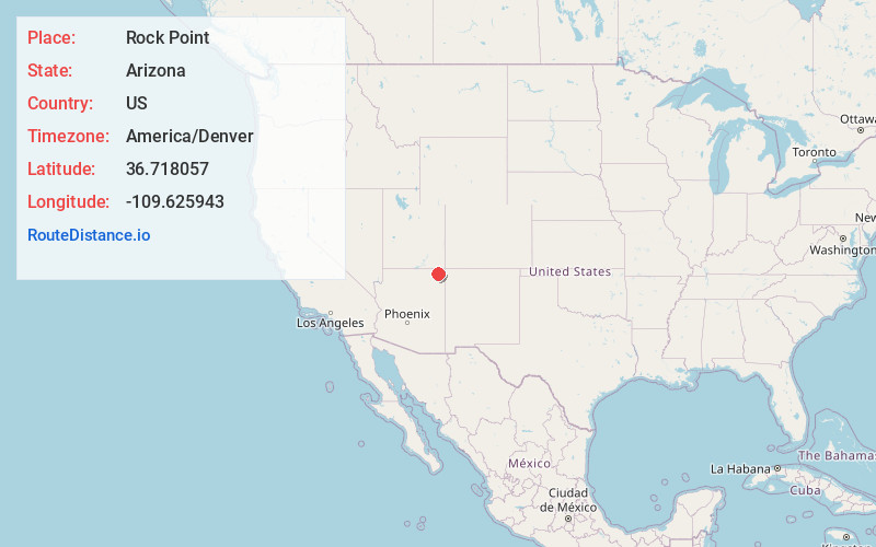
Full AddressRock Point, AZ 86545
-
Coordinates36.7180568, -109.6259429
-
LocationRock Point , Arizona , US
-
TimezoneAmerica/Denver
-
Current Local Time6:18:27 AM America/DenverFriday, June 20, 2025
-
Page Views0
About Rock Point
Rock Point is a census-designated place in Apache County, Arizona, United States. The population was 642 at the 2010 census. Its name is descriptive of the point where Chinle Creek enters high sandstone walls.


Nearby Places
Found 10 places within 50 miles

Dennehotso
15.1 mi
24.3 km
Dennehotso, AZ 86535
Get directions

Round Rock
16.5 mi
26.6 km
Round Rock, AZ 86547
Get directions

Red Mesa
21.7 mi
34.9 km
Red Mesa, AZ 86514
Get directions

Many Farms
25.2 mi
40.6 km
Many Farms, AZ
Get directions

Chilchinbito
28.5 mi
45.9 km
Chilchinbito, AZ 86033
Get directions

Lukachukai
30.3 mi
48.8 km
Lukachukai, AZ 86507
Get directions

Teec Nos Pos
33.0 mi
53.1 km
Teec Nos Pos, AZ 86514
Get directions

Kayenta
34.8 mi
56.0 km
Kayenta, AZ 86033
Get directions

Oljato
36.2 mi
58.3 km
Oljato
Get directions

Tsaile
36.3 mi
58.4 km
Tsaile, AZ
Get directions
Location Links
Local Weather
Weather Information
Coming soon!
Location Map
Static map view of Rock Point, Arizona
Browse Places by Distance
Places within specific distances from Rock Point
Short Distances
Long Distances
Click any distance to see all places within that range from Rock Point. Distances shown in miles (1 mile ≈ 1.61 kilometers).