Distance to Monthalia, Texas

Calculating Your Route
Just a moment while we process your request...
Location Information
-
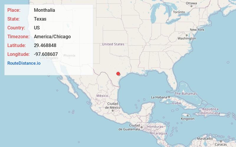
Full AddressMonthalia, TX 78629
-
Coordinates29.4688475, -97.6086071
-
LocationMonthalia , Texas , US
-
TimezoneAmerica/Chicago
-
Current Local Time1:26:02 PM America/ChicagoTuesday, July 1, 2025
-
Page Views0
About Monthalia
Monthalia is a small unincorporated rural community. It is located along Gonzales County Road 143. The road joins US 90A and FM 466 as a bridge across the Guadalupe River. The road bypasses neighboring Belmont. The ghost town Oak Forest and the "MA Wade Dam" lie to the north.
Nearby Places
Found 10 places within 50 miles

Bebe
4.1 mi
6.6 km
Bebe, TX 78614
Get directions
Cost
5.3 mi
8.5 km
Cost, TX 78614
Get directions

Belmont
5.9 mi
9.5 km
Belmont, TX 78629
Get directions
Wrightsboro
7.1 mi
11.4 km
Wrightsboro, TX 78629
Get directions
Summerville
8.4 mi
13.5 km
Summerville, TX 78629
Get directions
Ottine
9.0 mi
14.5 km
Ottine, TX 78629
Get directions

Leesville
9.3 mi
15.0 km
Leesville, TX 78122
Get directions

Gonzales
9.7 mi
15.6 km
Gonzales, TX 78629
Get directions

Smiley
14.0 mi
22.5 km
Smiley, TX
Get directions

Luling
14.8 mi
23.8 km
Luling, TX 78648
Get directions
Location Links
Local Weather
Weather Information
Coming soon!
Location Map
Static map view of Monthalia, Texas
Browse Places by Distance
Places within specific distances from Monthalia
Short Distances
Long Distances
Click any distance to see all places within that range from Monthalia. Distances shown in miles (1 mile ≈ 1.61 kilometers).