Distance to Ottine, Texas

Calculating Your Route
Just a moment while we process your request...
Location Information
-
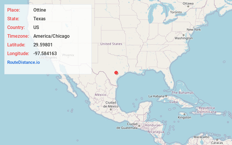
Full AddressOttine, TX 78629
-
Coordinates29.59801, -97.5841628
-
LocationOttine , Texas , US
-
TimezoneAmerica/Chicago
-
Current Local Time1:53:16 PM America/ChicagoSunday, May 25, 2025
-
Page Views0
About Ottine
Ottine is an unincorporated community in Gonzales County, Texas, United States. According to the Handbook of Texas, the community had an estimated population of 90 in 2000. It is home to Palmetto State Park, which can accommodate approximately 500 daily campers.
Nearby Places
Found 10 places within 50 miles

Harwood
6.7 mi
10.8 km
Harwood, TX 78632
Get directions

Luling
6.9 mi
11.1 km
Luling, TX 78648
Get directions

Gonzales
10.3 mi
16.6 km
Gonzales, TX 78629
Get directions
Thompsonville
14.1 mi
22.7 km
Thompsonville, TX 78959
Get directions

Kingsbury
14.7 mi
23.7 km
Kingsbury, TX
Get directions

Waelder
18.4 mi
29.6 km
Waelder, TX 78959
Get directions
Staples
19.7 mi
31.7 km
Staples, TX
Get directions

Lockhart
20.5 mi
33.0 km
Lockhart, TX 78644
Get directions

Seguin
22.9 mi
36.9 km
Seguin, TX 78155
Get directions

Smiley
23.0 mi
37.0 km
Smiley, TX
Get directions
Location Links
Local Weather
Weather Information
Coming soon!
Location Map
Static map view of Ottine, Texas
Browse Places by Distance
Places within specific distances from Ottine
Short Distances
Long Distances
Click any distance to see all places within that range from Ottine. Distances shown in miles (1 mile ≈ 1.61 kilometers).