Distance to Monticello, South Carolina

Calculating Your Route
Just a moment while we process your request...
Location Information
-
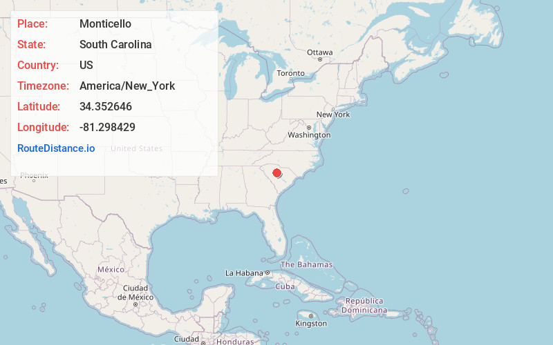
Full AddressMonticello, SC 29015
-
Coordinates34.3526459, -81.2984285
-
LocationMonticello , South Carolina , US
-
TimezoneAmerica/New_York
-
Current Local Time9:48:47 AM America/New_YorkSunday, May 25, 2025
-
Page Views0
About Monticello
Monticello, South Carolina is an unincorporated community in Fairfield County, South Carolina, United States.
It is the location of four places listed on the U.S. National Register of Historic Places:
Davis Plantation
Fonti Flora Plantation
Monticello Methodist Church
Monticello Store and Post Office
Nearby Places
Found 10 places within 50 miles

Salem Crossroads
4.8 mi
7.7 km
Salem Crossroads, SC 29015
Get directions

Jenkinsville
5.9 mi
9.5 km
Jenkinsville, SC 29065
Get directions
Strother
6.2 mi
10.0 km
Strother, SC 29015
Get directions
Parr
6.3 mi
10.1 km
Parr, SC 29126
Get directions
Glymphville
7.6 mi
12.2 km
Glymphville, SC 29126
Get directions
Alston
7.6 mi
12.2 km
Alston, SC 29075
Get directions
Douglass
7.9 mi
12.7 km
Douglass, SC 29014
Get directions

Peak
7.9 mi
12.7 km
Peak, SC
Get directions

Pomaria
9.0 mi
14.5 km
Pomaria, SC 29126
Get directions
Rion
10.4 mi
16.7 km
Rion, SC 29180
Get directions
Location Links
Local Weather
Weather Information
Coming soon!
Location Map
Static map view of Monticello, South Carolina
Browse Places by Distance
Places within specific distances from Monticello
Short Distances
Long Distances
Click any distance to see all places within that range from Monticello. Distances shown in miles (1 mile ≈ 1.61 kilometers).