Distance to Montrose, Nebraska

Calculating Your Route
Just a moment while we process your request...
Location Information
-
Full AddressMontrose, Bowen Precinct, NE 69346
-
Coordinates42.922467, -103.728817
-
LocationBowen Precinct , Nebraska , US
-
TimezoneAmerica/Denver
-
Current Local Time4:02:00 AM America/DenverSunday, June 29, 2025
-
Page Views0
About Montrose
Montrose is a former village in Sioux County, Nebraska, United States. The townsite is located near the intersection of the Powder River Trail and the Cheyenne & Black Hills Stage Road and is now a part of the Oglala National Grassland.
Nearby Places
Found 10 places within 50 miles

Ardmore
7.6 mi
12.2 km
Ardmore, SD
Get directions

Five Points
10.0 mi
16.1 km
Five Points, Bowen Precinct, NE 69346
Get directions
Joder
10.0 mi
16.1 km
Joder, Bowen Precinct, NE 69346
Get directions
Story
10.6 mi
17.1 km
Story, Bowen Precinct, NE 69346
Get directions

Orella
11.7 mi
18.8 km
Orella, Precinct 11, NE 69367
Get directions
Rumford
14.2 mi
22.9 km
Rumford, Southwest Fall River, SD 57735
Get directions

Harrison
18.0 mi
29.0 km
Harrison, NE 69346
Get directions
Whitman
19.7 mi
31.7 km
Whitman, WY 82225
Get directions
Andrews
20.1 mi
32.3 km
Andrews, NE 69346
Get directions
Igloo
20.4 mi
32.8 km
Igloo, Provo Township, SD 57735
Get directions
Location Links
Local Weather
Weather Information
Coming soon!
Location Map
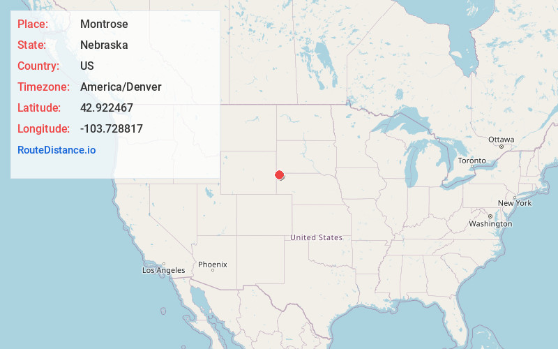
Static map view of Montrose, Nebraska
Browse Places by Distance
Places within specific distances from Montrose
Short Distances
Long Distances
Click any distance to see all places within that range from Montrose. Distances shown in miles (1 mile ≈ 1.61 kilometers).