Distance to Montrose, Iowa

Calculating Your Route
Just a moment while we process your request...
Location Information
-
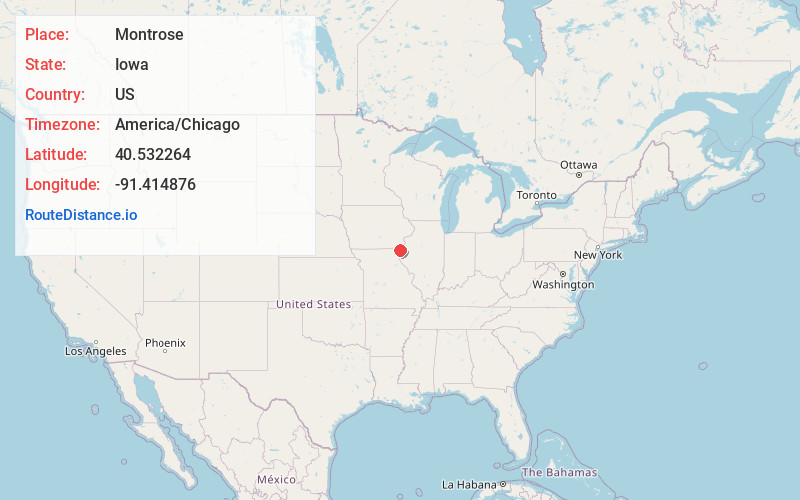
Full AddressMontrose, IA 52639
-
Coordinates40.5322644, -91.414876
-
LocationMontrose , Iowa , US
-
TimezoneAmerica/Chicago
-
Current Local Time9:26:11 PM America/ChicagoSaturday, June 21, 2025
-
Page Views0
About Montrose
Montrose is a city in Lee County, Iowa. The population was 738 at the time of the 2020 census. The town is located on the Mississippi River. It is part of the Fort Madison-Keokuk Micropolitan Statistical Area.


Nearby Places
Found 10 places within 50 miles

Nauvoo
2.0 mi
3.2 km
Nauvoo, IL 62354
Get directions

Fort Madison
8.6 mi
13.8 km
Fort Madison, IA
Get directions

Keokuk
8.9 mi
14.3 km
Keokuk, IA 52632
Get directions

Hamilton
10.2 mi
16.4 km
Hamilton, IL
Get directions

Donnellson
11.0 mi
17.7 km
Donnellson, IA 52625
Get directions

Warsaw
12.0 mi
19.3 km
Warsaw, IL 62379
Get directions

West Point
12.9 mi
20.8 km
West Point, IA 52656
Get directions

Dallas City
14.8 mi
23.8 km
Dallas City, IL 62330
Get directions

Carthage
16.7 mi
26.9 km
Carthage, IL 62321
Get directions

Kahoka
17.8 mi
28.6 km
Kahoka, MO 63445
Get directions
Location Links
Local Weather
Weather Information
Coming soon!
Location Map
Static map view of Montrose, Iowa
Browse Places by Distance
Places within specific distances from Montrose
Short Distances
Long Distances
Click any distance to see all places within that range from Montrose. Distances shown in miles (1 mile ≈ 1.61 kilometers).