Distance to Montrose Twp, Michigan

Calculating Your Route
Just a moment while we process your request...
Location Information
-
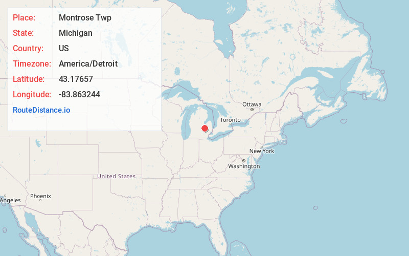
Full AddressMontrose Twp, MI
-
Coordinates43.1765695, -83.863244
-
LocationMontrose Twp , Michigan , US
-
TimezoneAmerica/Detroit
-
Current Local Time5:39:19 PM America/DetroitFriday, May 30, 2025
-
Page Views0
About Montrose Twp
The Charter Township of Montrose is a charter township of Genesee County in the U.S. state of Michigan. The population was 6,224 at the 2010 census, a slight decrease from 6,336 at the 2000 census. The City of Montrose is surrounded by the township, but is politically and administratively autonomous.


Nearby Places
Found 10 places within 50 miles

Montrose
1.5 mi
2.4 km
Montrose, MI 48457
Get directions

Morseville
4.1 mi
6.6 km
Morseville, Taymouth Township, MI 48415
Get directions
Brent Creek
4.2 mi
6.8 km
Brent Creek, Flushing Twp, MI 48433
Get directions
Burt
4.6 mi
7.4 km
Burt, MI
Get directions
Burnt
4.6 mi
7.4 km
Burnt, Burt, MI 48417
Get directions

Taymouth Township
5.9 mi
9.5 km
Taymouth Township, MI
Get directions

Birch Run
6.2 mi
10.0 km
Birch Run, MI 48415
Get directions

Clio
6.5 mi
10.5 km
Clio, MI 48420
Get directions
New Lothrop
6.8 mi
10.9 km
New Lothrop, MI 48460
Get directions
Farrandville
7.0 mi
11.3 km
Farrandville, Vienna Twp, MI 48420
Get directions
Location Links
Local Weather
Weather Information
Coming soon!
Location Map
Static map view of Montrose Twp, Michigan
Browse Places by Distance
Places within specific distances from Montrose Twp
Short Distances
Long Distances
Click any distance to see all places within that range from Montrose Twp. Distances shown in miles (1 mile ≈ 1.61 kilometers).