Distance to Montrose, Michigan

Calculating Your Route
Just a moment while we process your request...
Location Information
-
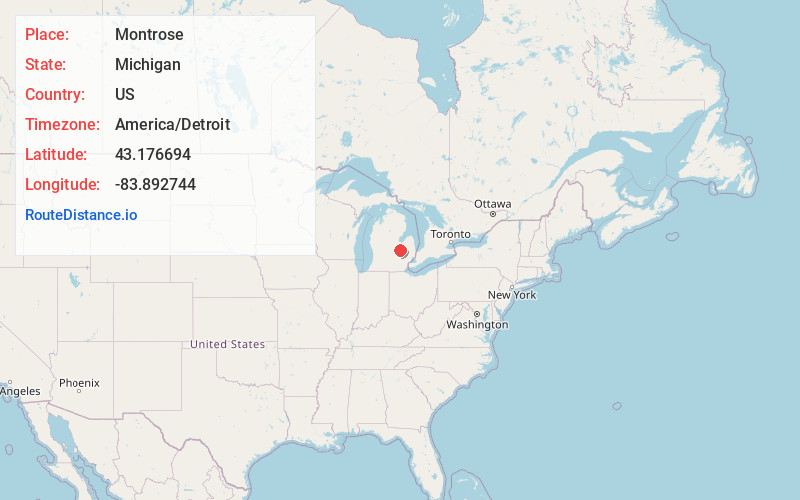
Full AddressMontrose, MI 48457
-
Coordinates43.1766935, -83.8927439
-
LocationMontrose , Michigan , US
-
TimezoneAmerica/Detroit
-
Current Local Time5:07:01 PM America/DetroitWednesday, June 18, 2025
-
Page Views0
About Montrose
Montrose is a city in Genesee County in the U.S. state of Michigan. The population was 1,743 at the 2020 census. Once part of the surrounding Montrose Township, the city itself incorporated in 1980, and both are now administered autonomously. It is part of the Flint metropolitan area.


Nearby Places
Found 10 places within 50 miles

Clio
8.0 mi
12.9 km
Clio, MI 48420
Get directions

Flushing
8.1 mi
13.0 km
Flushing, MI 48433
Get directions

Mt Morris
10.7 mi
17.2 km
Mt Morris, MI 48458
Get directions

Chesaning
11.2 mi
18.0 km
Chesaning, MI 48616
Get directions

Beecher
11.7 mi
18.8 km
Beecher, MI
Get directions

Bridgeport
12.6 mi
20.3 km
Bridgeport, MI
Get directions

Frankenmuth
13.2 mi
21.2 km
Frankenmuth, MI
Get directions

St Charles
15.2 mi
24.5 km
St Charles, MI 48655
Get directions

Flint
15.4 mi
24.8 km
Flint, MI
Get directions

Swartz Creek
15.5 mi
24.9 km
Swartz Creek, MI
Get directions
Location Links
Local Weather
Weather Information
Coming soon!
Location Map
Static map view of Montrose, Michigan
Browse Places by Distance
Places within specific distances from Montrose
Short Distances
Long Distances
Click any distance to see all places within that range from Montrose. Distances shown in miles (1 mile ≈ 1.61 kilometers).