Distance to Mt Morris, Michigan

Calculating Your Route
Just a moment while we process your request...
Location Information
-
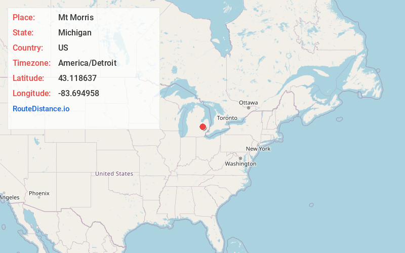
Full AddressMt Morris, MI 48458
-
Coordinates43.1186374, -83.6949583
-
LocationMt Morris , Michigan , US
-
TimezoneAmerica/Detroit
-
Current Local Time9:59:53 AM America/DetroitTuesday, June 24, 2025
-
Page Views0
About Mt Morris
Mount Morris is a city in Genesee County in the U.S. state of Michigan. The population was 3,086 at the 2010 census. The city is bordered by Mount Morris Township on the west and Genesee Township on the east. It was named after Mount Morris, New York, because many of the early settlers had come from there.


Nearby Places
Found 10 places within 50 miles

Beecher
2.0 mi
3.2 km
Beecher, MI
Get directions

Flint
7.3 mi
11.7 km
Flint, MI
Get directions

Flushing
8.8 mi
14.2 km
Flushing, MI 48433
Get directions

Burton
9.1 mi
14.6 km
Burton, MI
Get directions

Davison
10.6 mi
17.1 km
Davison, MI 48423
Get directions

Swartz Creek
13.1 mi
21.1 km
Swartz Creek, MI
Get directions

Grand Blanc
13.6 mi
21.9 km
Grand Blanc, MI 48439
Get directions

Frankenmuth
14.9 mi
24.0 km
Frankenmuth, MI
Get directions

Lake Fenton
18.5 mi
29.8 km
Lake Fenton, MI 48430
Get directions

Bridgeport
19.0 mi
30.6 km
Bridgeport, MI
Get directions
Location Links
Local Weather
Weather Information
Coming soon!
Location Map
Static map view of Mt Morris, Michigan
Browse Places by Distance
Places within specific distances from Mt Morris
Short Distances
Long Distances
Click any distance to see all places within that range from Mt Morris. Distances shown in miles (1 mile ≈ 1.61 kilometers).