Distance to Moon, Kentucky

Calculating Your Route
Just a moment while we process your request...
Location Information
-
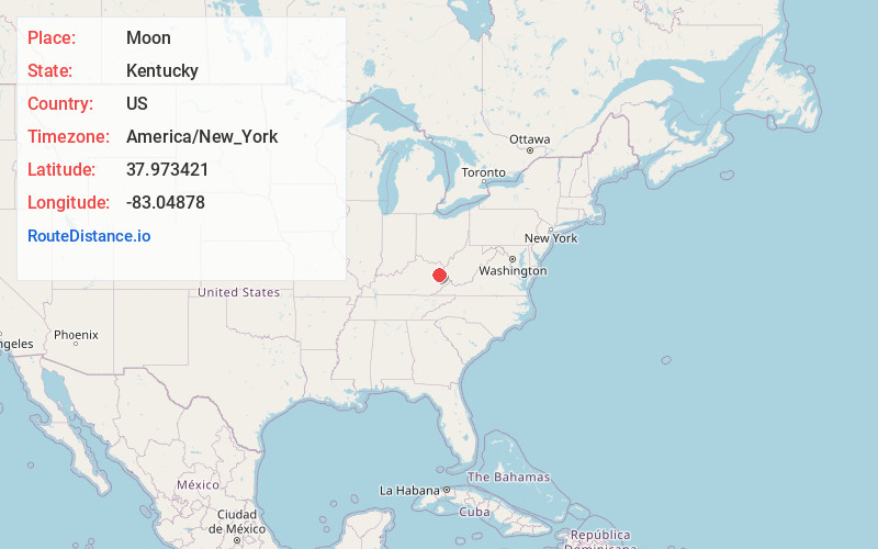
Full AddressMoon, KY 41472
-
Coordinates37.9734213, -83.0487802
-
LocationMoon , Kentucky , US
-
TimezoneAmerica/New_York
-
Current Local Time1:51:38 PM America/New_YorkWednesday, June 18, 2025
-
Page Views0
About Moon
Moon is an unincorporated community in Morgan County, Kentucky, United States. It lies along Kentucky Route 172 northeast of the city of West Liberty, Kentucky, the county seat of Morgan County. The community's post office, opened in 1905 and closed in 1993

Nearby Places
Found 10 places within 50 miles

Crockett
2.4 mi
3.9 km
Crockett, KY 41472
Get directions
Jeptha
3.5 mi
5.6 km
Jeptha, KY 41472
Get directions
Relief
3.5 mi
5.6 km
Relief, KY 41472
Get directions
Mima
3.7 mi
6.0 km
Mima, KY 41472
Get directions
Eldridge
4.4 mi
7.1 km
Eldridge, KY 41149
Get directions
Elkfork
4.6 mi
7.4 km
Elkfork, KY 41472
Get directions
Roscoe
4.9 mi
7.9 km
Roscoe, KY 41171
Get directions
Keaton
4.9 mi
7.9 km
Keaton, KY 41226
Get directions
Dingus
5.4 mi
8.7 km
Dingus, KY 41472
Get directions
Mazie
5.6 mi
9.0 km
Mazie, KY 41159
Get directions
Location Links
Local Weather
Weather Information
Coming soon!
Location Map
Static map view of Moon, Kentucky
Browse Places by Distance
Places within specific distances from Moon
Short Distances
Long Distances
Click any distance to see all places within that range from Moon. Distances shown in miles (1 mile ≈ 1.61 kilometers).