Distance to Moonridge, Colorado

Calculating Your Route
Just a moment while we process your request...
Location Information
-
Full AddressMoonridge, CO 80135
-
Coordinates39.3652674, -105.1174884
-
LocationColorado , US
-
TimezoneAmerica/Denver
-
Current Local Time9:59:35 PM America/DenverThursday, June 19, 2025
-
Page Views0
Nearby Places
Found 10 places within 50 miles

Sprucewood
1.1 mi
1.8 km
Sprucewood, CO 80135
Get directions
Twin Cedars
2.7 mi
4.3 km
Twin Cedars, CO 80135
Get directions
Pine Nook
2.8 mi
4.5 km
Pine Nook, CO 80135
Get directions
Nighthawk
2.9 mi
4.7 km
Nighthawk, CO 80135
Get directions
Shamballah-Ashrama
4.8 mi
7.7 km
Shamballah-Ashrama, CO 80135
Get directions

South Platte River
5.8 mi
9.3 km
South Platte River, Colorado
Get directions
Dome Rock
5.8 mi
9.3 km
Dome Rock, CO 80127
Get directions
Oxyoke
6.1 mi
9.8 km
Oxyoke, CO 80135
Get directions

Foxton
7.5 mi
12.1 km
Foxton, CO 80470
Get directions
Ferndale
7.9 mi
12.7 km
Ferndale, CO 80470
Get directions
Location Links
Local Weather
Weather Information
Coming soon!
Location Map
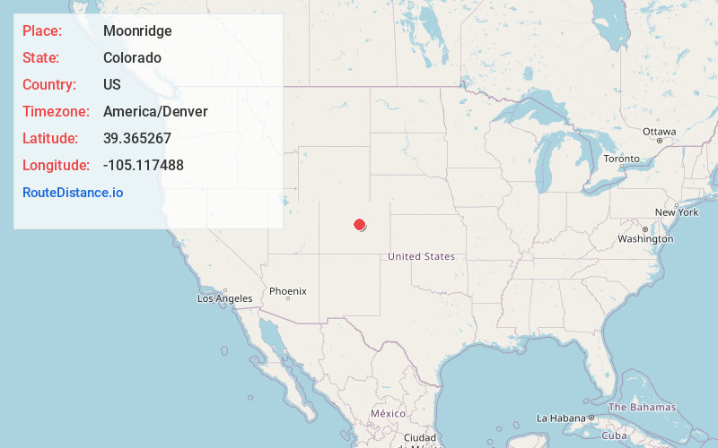
Static map view of Moonridge, Colorado
Browse Places by Distance
Places within specific distances from Moonridge
Short Distances
Long Distances
Click any distance to see all places within that range from Moonridge. Distances shown in miles (1 mile ≈ 1.61 kilometers).