Distance to Shamballah-Ashrama, Colorado

Calculating Your Route
Just a moment while we process your request...
Location Information
-
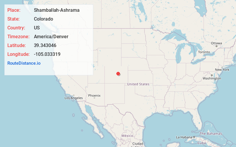
Full AddressShamballah-Ashrama, CO 80135
-
Coordinates39.3430455, -105.0333188
-
LocationColorado , US
-
TimezoneAmerica/Denver
-
Current Local Time7:48:35 AM America/DenverFriday, May 30, 2025
-
Page Views0
Nearby Places
Found 10 places within 50 miles

Sprucewood
4.7 mi
7.6 km
Sprucewood, CO 80135
Get directions
Monte Vista Estates
6.2 mi
10.0 km
Monte Vista Estates, CO 80109
Get directions

Perry Park
6.4 mi
10.3 km
Perry Park, CO 80118
Get directions
Nighthawk
7.3 mi
11.7 km
Nighthawk, CO 80135
Get directions

Sedalia
7.6 mi
12.2 km
Sedalia, CO 80135
Get directions
Tomah
8.2 mi
13.2 km
Tomah, CO 80118
Get directions

South Platte River
9.1 mi
14.6 km
South Platte River, Colorado
Get directions

Louviers
9.4 mi
15.1 km
Louviers, CO
Get directions

Castle Rock
9.7 mi
15.6 km
Castle Rock, CO
Get directions
Dome Rock
10.3 mi
16.6 km
Dome Rock, CO 80127
Get directions
Location Links
Local Weather
Weather Information
Coming soon!
Location Map
Static map view of Shamballah-Ashrama, Colorado
Browse Places by Distance
Places within specific distances from Shamballah-Ashrama
Short Distances
Long Distances
Click any distance to see all places within that range from Shamballah-Ashrama. Distances shown in miles (1 mile ≈ 1.61 kilometers).