Distance to Perry Park, Colorado

Calculating Your Route
Just a moment while we process your request...
Location Information
-
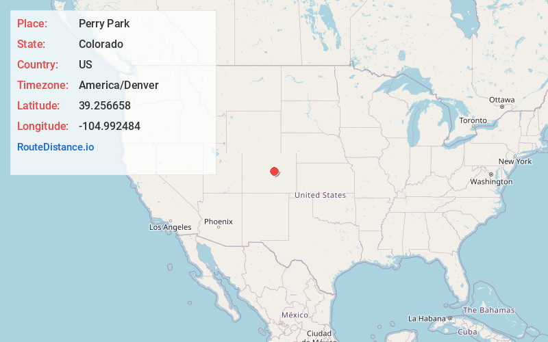
Full AddressPerry Park, CO 80118
-
Coordinates39.2566575, -104.9924844
-
LocationPerry Park , Colorado , US
-
TimezoneAmerica/Denver
-
Current Local Time8:34:26 AM America/DenverSunday, June 22, 2025
-
Page Views1
About Perry Park
Perry Park is an unincorporated community and a census-designated place located in Douglas County, Colorado, United States. The CDP is a part of the Denver–Aurora–Lakewood, CO Metropolitan Statistical Area. The population of the Perry Park CDP was 1,932 at the United States Census 2020.

Nearby Places
Found 10 places within 50 miles

Palmer Lake
10.1 mi
16.3 km
Palmer Lake, CO
Get directions

Castle Rock
10.8 mi
17.4 km
Castle Rock, CO
Get directions

Monument
13.1 mi
21.1 km
Monument, CO
Get directions

Woodmoor
13.2 mi
21.2 km
Woodmoor, CO 80132
Get directions

Castle Pines
15.7 mi
25.3 km
Castle Pines, CO 80108
Get directions

Gleneagle
17.1 mi
27.5 km
Gleneagle, CO 80921
Get directions

Woodland Park
18.5 mi
29.8 km
Woodland Park, CO 80863
Get directions

United States Air Force Academy
19.2 mi
30.9 km
United States Air Force Academy, Air Force Academy, CO 80840
Get directions

The Pinery
19.5 mi
31.4 km
The Pinery, CO 80134
Get directions

Lone Tree
20.1 mi
32.3 km
Lone Tree, CO
Get directions
Location Links
Local Weather
Weather Information
Coming soon!
Location Map
Static map view of Perry Park, Colorado
Browse Places by Distance
Places within specific distances from Perry Park
Short Distances
Long Distances
Click any distance to see all places within that range from Perry Park. Distances shown in miles (1 mile ≈ 1.61 kilometers).