Distance to Gleneagle, Colorado

Calculating Your Route
Just a moment while we process your request...
Location Information
-
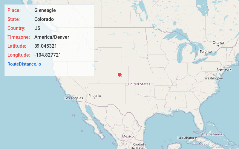
Full AddressGleneagle, CO 80921
-
Coordinates39.0453205, -104.8277214
-
LocationGleneagle , Colorado , US
-
TimezoneAmerica/Denver
-
Current Local Time8:55:52 PM America/DenverWednesday, June 18, 2025
-
Page Views0
About Gleneagle
Gleneagle is an unincorporated community and a census-designated place located in and governed by El Paso County, Colorado, United States. The CDP is a part of the Colorado Springs, CO Metropolitan Statistical Area. The population of the Gleneagle CDP was 6,649 at the United States Census 2020.
Nearby Places
Found 10 places within 50 miles

Monument
4.0 mi
6.4 km
Monument, CO
Get directions

Woodmoor
4.0 mi
6.4 km
Woodmoor, CO 80132
Get directions

Black Forest
7.2 mi
11.6 km
Black Forest, CO
Get directions

Woodland Park
12.8 mi
20.6 km
Woodland Park, CO 80863
Get directions

Cimarron Hills
14.0 mi
22.5 km
Cimarron Hills, CO
Get directions

Colorado Springs
14.5 mi
23.3 km
Colorado Springs, CO
Get directions

Stratmoor
18.9 mi
30.4 km
Stratmoor, CO
Get directions

Security-Widefield
20.0 mi
32.2 km
Security-Widefield, CO
Get directions

Fort Carson
21.4 mi
34.4 km
Fort Carson, CO
Get directions

Castle Rock
22.6 mi
36.4 km
Castle Rock, CO
Get directions
Location Links
Local Weather
Weather Information
Coming soon!
Location Map
Static map view of Gleneagle, Colorado
Browse Places by Distance
Places within specific distances from Gleneagle
Short Distances
Long Distances
Click any distance to see all places within that range from Gleneagle. Distances shown in miles (1 mile ≈ 1.61 kilometers).