Distance to Morgan County, Colorado

Calculating Your Route
Just a moment while we process your request...
Location Information
-
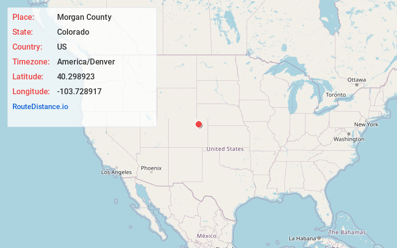
Full AddressMorgan County, CO
-
Coordinates40.2989226, -103.7289167
-
LocationColorado , US
-
TimezoneAmerica/Denver
-
Current Local Time12:28:57 PM America/DenverThursday, May 22, 2025
-
Page Views0
About Morgan County
Morgan County is a county located in the U.S. state of Colorado. As of the 2020 census, the population was 29,111. The county seat is Fort Morgan. The county was named after old Fort Morgan, which in turn was named in honor of Colonel Christopher A. Morgan.


Nearby Places
Found 10 places within 50 miles

Dodd
1.4 mi
2.3 km
Dodd, CO 80701
Get directions
Hurley
2.4 mi
3.9 km
Hurley, CO 80701
Get directions
Lodi
3.6 mi
5.8 km
Lodi, CO 80701
Get directions
Moseley
3.7 mi
6.0 km
Moseley, CO 80701
Get directions
Saddle Ridge
3.9 mi
6.3 km
Saddle Ridge, CO 80701
Get directions
Nelson
4.8 mi
7.7 km
Nelson, CO 80701
Get directions
Fort Morgan
5.0 mi
8.0 km
Fort Morgan, CO 80701
Get directions
Morgan Heights
5.2 mi
8.4 km
Morgan Heights, CO 80701
Get directions

Log Lane Village
5.7 mi
9.2 km
Log Lane Village, CO
Get directions

Brush
6.2 mi
10.0 km
Brush, CO 80723
Get directions
Location Links
Local Weather
Weather Information
Coming soon!
Location Map
Static map view of Morgan County, Colorado
Browse Places by Distance
Places within specific distances from Morgan County
Short Distances
Long Distances
Click any distance to see all places within that range from Morgan County. Distances shown in miles (1 mile ≈ 1.61 kilometers).