Distance to Morley, Michigan

Calculating Your Route
Just a moment while we process your request...
Location Information
-
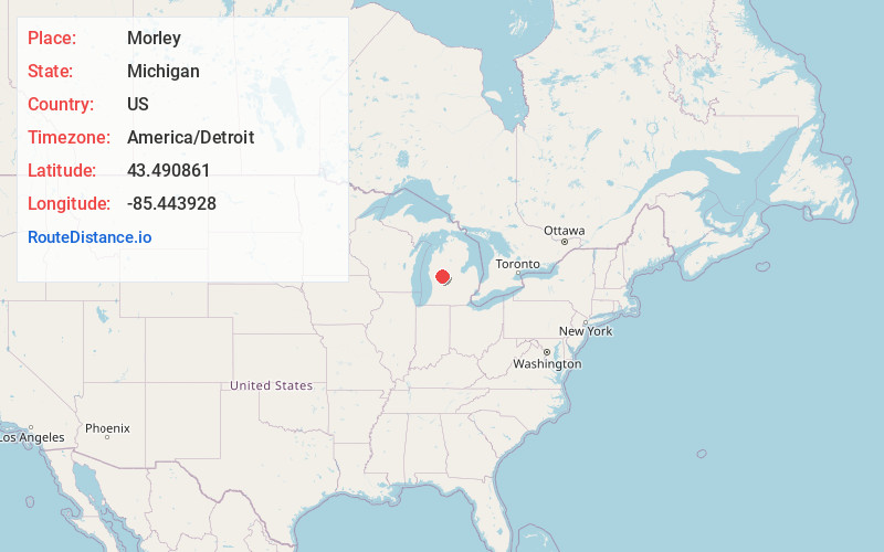
Full AddressMorley, MI 49336
-
Coordinates43.4908606, -85.4439283
-
LocationMorley , Michigan , US
-
TimezoneAmerica/Detroit
-
Current Local Time8:07:00 AM America/DetroitSaturday, June 7, 2025
-
Page Views0
About Morley
Morley is a village in Mecosta County in the U.S. state of Michigan. The population was 517 at the 2020 census.


Nearby Places
Found 10 places within 50 miles

Howard City
6.7 mi
10.8 km
Howard City, MI 49329
Get directions

Lakeview
8.8 mi
14.2 km
Lakeview, MI 48850
Get directions

Canadian Lakes
9.4 mi
15.1 km
Canadian Lakes, MI
Get directions

Sand Lake
14.2 mi
22.9 km
Sand Lake, MI 49343
Get directions

Big Rapids
14.5 mi
23.3 km
Big Rapids, MI 49307
Get directions

White Cloud
16.9 mi
27.2 km
White Cloud, MI 49349
Get directions

Newaygo
18.5 mi
29.8 km
Newaygo, MI 49337
Get directions

Cedar Springs
19.3 mi
31.1 km
Cedar Springs, MI 49319
Get directions

Edmore
21.1 mi
34.0 km
Edmore, MI 48829
Get directions

Grant
21.3 mi
34.3 km
Grant, MI 49327
Get directions
Location Links
Local Weather
Weather Information
Coming soon!
Location Map
Static map view of Morley, Michigan
Browse Places by Distance
Places within specific distances from Morley
Short Distances
Long Distances
Click any distance to see all places within that range from Morley. Distances shown in miles (1 mile ≈ 1.61 kilometers).