Distance to Moro, Maine

Calculating Your Route
Just a moment while we process your request...
Location Information
-
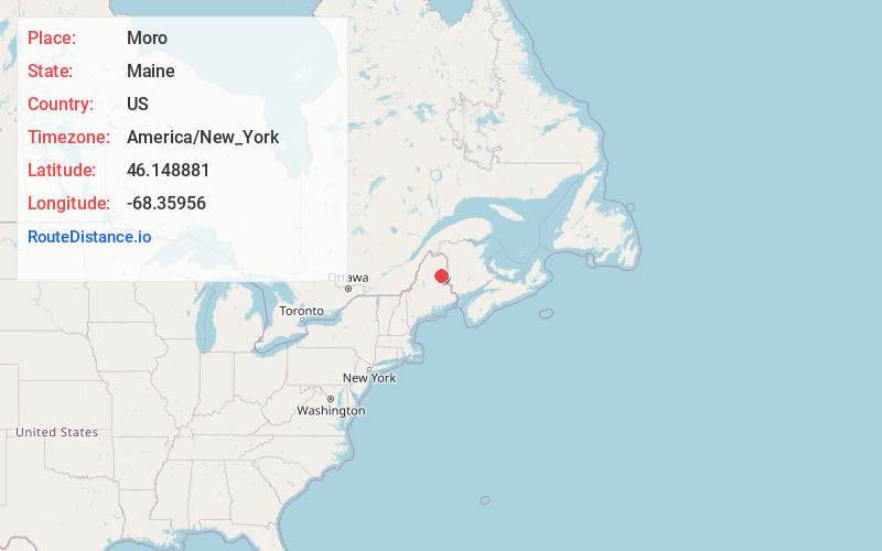
Full AddressMoro, ME
-
Coordinates46.1488814, -68.3595596
-
LocationMoro , Maine , US
-
TimezoneAmerica/New_York
-
Current Local Time7:26:30 AM America/New_YorkWednesday, June 18, 2025
-
Page Views0
About Moro
Moro Plantation is a plantation in Aroostook County, Maine, United States. The population was 44 at the 2020 census.
Nearby Places
Found 10 places within 50 miles

Merrill
6.2 mi
10.0 km
Merrill, ME 04780
Get directions
Hersey
6.3 mi
10.1 km
Hersey, ME
Get directions

Mt Chase
9.3 mi
15.0 km
Mt Chase, ME 04765
Get directions
Dyer Brook
9.6 mi
15.4 km
Dyer Brook, ME
Get directions
Oakfield
10.2 mi
16.4 km
Oakfield, ME
Get directions

Island Falls
10.5 mi
16.9 km
Island Falls, ME 04747
Get directions

Patten
11.3 mi
18.2 km
Patten, ME 04765
Get directions

Smyrna
11.5 mi
18.5 km
Smyrna, ME
Get directions

Crystal
13.1 mi
21.1 km
Crystal, ME
Get directions
Stacyville
17.6 mi
28.3 km
Stacyville, ME
Get directions
Location Links
Local Weather
Weather Information
Coming soon!
Location Map
Static map view of Moro, Maine
Browse Places by Distance
Places within specific distances from Moro
Short Distances
Long Distances
Click any distance to see all places within that range from Moro. Distances shown in miles (1 mile ≈ 1.61 kilometers).