Distance to Morongo Valley, California

Calculating Your Route
Just a moment while we process your request...
Location Information
-
Full AddressMorongo Valley, CA 92256
-
Coordinates34.0469549, -116.5808472
-
LocationMorongo Valley , California , US
-
TimezoneAmerica/Los_Angeles
-
Current Local Time11:31:40 PM America/Los_AngelesThursday, June 19, 2025
-
Page Views0
About Morongo Valley
Morongo Valley is a census-designated place on State Route 62 in San Bernardino County, California, United States. The population was 3,552 at the 2010 census, up from 1,929 at the 2000 census. The town is bordered by Yucca Valley, California.


Nearby Places
Found 10 places within 50 miles

Yucca Valley
9.7 mi
15.6 km
Yucca Valley, CA 92284
Get directions

Garnet
10.1 mi
16.3 km
Garnet, CA
Get directions

Desert Edge
12.2 mi
19.6 km
Desert Edge, CA
Get directions

Palm Springs
16.0 mi
25.7 km
Palm Springs, CA
Get directions

Joshua Tree
16.5 mi
26.6 km
Joshua Tree, CA
Get directions

Banning
18.9 mi
30.4 km
Banning, CA
Get directions

Thousand Palms
19.1 mi
30.7 km
Thousand Palms, CA
Get directions

Cathedral City
19.5 mi
31.4 km
Cathedral City, CA
Get directions

Big Bear
21.1 mi
34.0 km
Big Bear, CA
Get directions

Idyllwild-Pine Cove
22.1 mi
35.6 km
Idyllwild-Pine Cove, CA
Get directions
Location Links
Local Weather
Weather Information
Coming soon!
Location Map
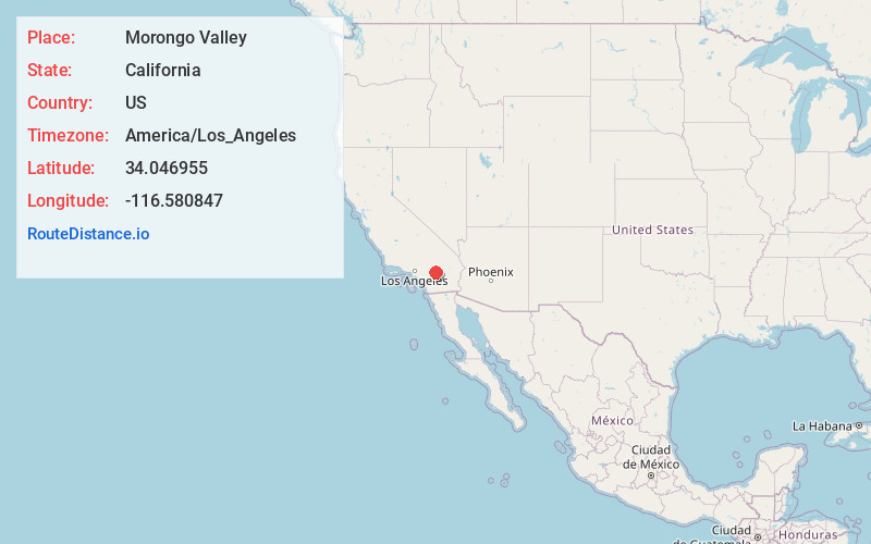
Static map view of Morongo Valley, California
Browse Places by Distance
Places within specific distances from Morongo Valley
Short Distances
Long Distances
Click any distance to see all places within that range from Morongo Valley. Distances shown in miles (1 mile ≈ 1.61 kilometers).