Distance to Morristown, Ohio

Calculating Your Route
Just a moment while we process your request...
Location Information
-
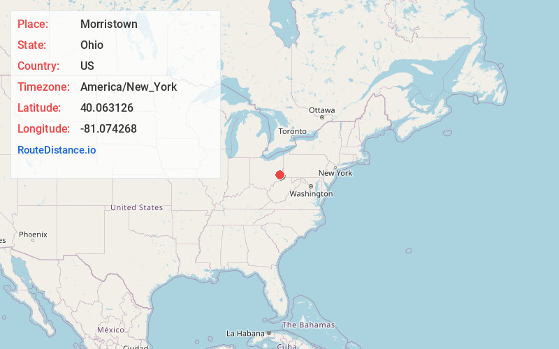
Full AddressMorristown, OH
-
Coordinates40.0631256, -81.0742676
-
LocationMorristown , Ohio , US
-
TimezoneAmerica/New_York
-
Current Local Time1:18:36 AM America/New_YorkThursday, June 19, 2025
-
Page Views0
About Morristown
Morristown is a village in Belmont County, Ohio, United States. The population was 248 at the 2020 census. It is part of the Wheeling metropolitan area.


Nearby Places
Found 10 places within 50 miles

Belmont
3.0 mi
4.8 km
Belmont, OH 43718
Get directions

Bethesda
3.2 mi
5.1 km
Bethesda, OH 43719
Get directions

Flushing
6.0 mi
9.7 km
Flushing, OH 43977
Get directions
Holloway
7.5 mi
12.1 km
Holloway, OH
Get directions

Barnesville
7.5 mi
12.1 km
Barnesville, OH 43713
Get directions

St Clairsville
9.2 mi
14.8 km
St Clairsville, OH 43950
Get directions

Quaker City
13.5 mi
21.7 km
Quaker City, OH 43773
Get directions
Blaine
13.6 mi
21.9 km
Blaine, OH
Get directions
Neffs
13.9 mi
22.4 km
Neffs, OH 43906
Get directions

Freeport
14.4 mi
23.2 km
Freeport, OH 43973
Get directions
Location Links
Local Weather
Weather Information
Coming soon!
Location Map
Static map view of Morristown, Ohio
Browse Places by Distance
Places within specific distances from Morristown
Short Distances
Long Distances
Click any distance to see all places within that range from Morristown. Distances shown in miles (1 mile ≈ 1.61 kilometers).