Distance to Mosby, Montana

Calculating Your Route
Just a moment while we process your request...
Location Information
-
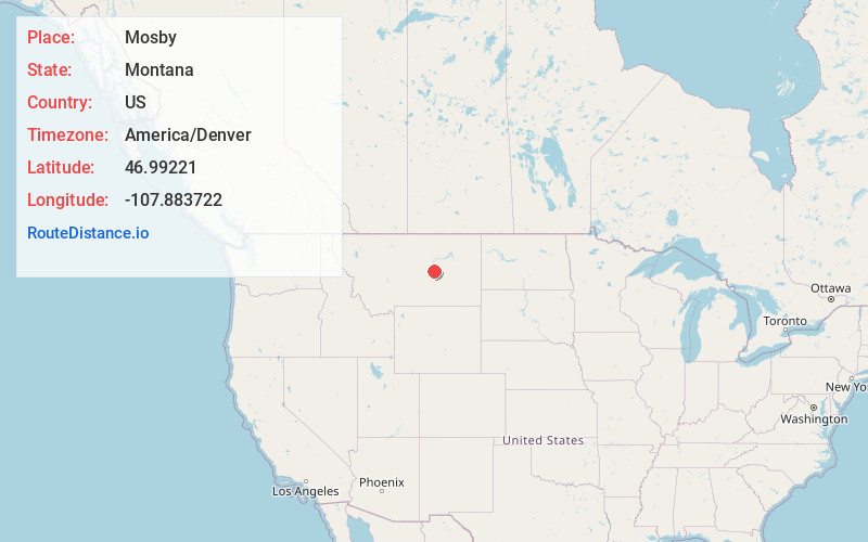
Full AddressMosby, MT 59058
-
Coordinates46.99221, -107.8837221
-
LocationMosby , Montana , US
-
TimezoneAmerica/Denver
-
Current Local Time5:14:49 PM America/DenverFriday, May 23, 2025
-
Page Views0
About Mosby
Mosby is a tiny unincorporated community in southwestern Garfield County, Montana, United States. It lies along Highway 200 southwest of the town of Sand Springs, its nearest neighboring settlement.

Nearby Places
Found 10 places within 50 miles

Cat Creek
7.7 mi
12.4 km
Cat Creek, MT 59087
Get directions
Ross Hall
15.2 mi
24.5 km
Ross Hall, MT 59058
Get directions
Benzien
20.6 mi
33.2 km
Benzien, MT 59077
Get directions
Kelley
21.0 mi
33.8 km
Kelley, MT 59087
Get directions
Winnett
22.1 mi
35.6 km
Winnett, MT 59087
Get directions
Bascom
26.0 mi
41.8 km
Bascom, MT 59054
Get directions
Flatwillow
26.7 mi
43.0 km
Flatwillow, MT 59087
Get directions
Melstone
27.2 mi
43.8 km
Melstone, MT 59054
Get directions
Sumatra
30.2 mi
48.6 km
Sumatra, MT 59054
Get directions
Steve Forks
32.2 mi
51.8 km
Steve Forks, MT 59077
Get directions
Location Links
Local Weather
Weather Information
Coming soon!
Location Map
Static map view of Mosby, Montana
Browse Places by Distance
Places within specific distances from Mosby
Short Distances
Long Distances
Click any distance to see all places within that range from Mosby. Distances shown in miles (1 mile ≈ 1.61 kilometers).