Distance to Mound House, Nevada

Calculating Your Route
Just a moment while we process your request...
Location Information
-
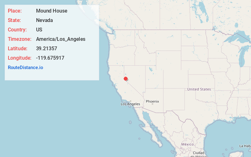
Full AddressMound House, NV 89706
-
Coordinates39.2135703, -119.6759174
-
LocationMound House , Nevada , US
-
TimezoneAmerica/Los_Angeles
-
Current Local Time6:49:27 AM America/Los_AngelesThursday, June 19, 2025
-
Page Views0
About Mound House
Mound House is a small unincorporated community in Lyon County, Nevada on U.S. Route 50 that is situated between Nevada's capital, Carson City, and Dayton. Its elevation is 4,974 feet. It is in Lyon County, one of eight Nevada counties that allow for legalized prostitution, and is home to four brothels.


Nearby Places
Found 10 places within 50 miles

Silver City
3.9 mi
6.3 km
Silver City, NV
Get directions

Dayton
4.7 mi
7.6 km
Dayton, NV
Get directions

Gold Hill
5.4 mi
8.7 km
Gold Hill, NV 89428
Get directions

Carson City
6.0 mi
9.7 km
Carson City, NV
Get directions

Sutro
6.7 mi
10.8 km
Sutro, Dayton, NV 89403
Get directions

Virginia City
6.8 mi
10.9 km
Virginia City, NV 89440
Get directions

New Washoe City
7.8 mi
12.6 km
New Washoe City, NV 89704
Get directions

Indian Hills
10.5 mi
16.9 km
Indian Hills, NV
Get directions

Washoe City
10.6 mi
17.1 km
Washoe City, NV 89704
Get directions
Como
11.0 mi
17.7 km
Como, NV 89403
Get directions
Location Links
Local Weather
Weather Information
Coming soon!
Location Map
Static map view of Mound House, Nevada
Browse Places by Distance
Places within specific distances from Mound House
Short Distances
Long Distances
Click any distance to see all places within that range from Mound House. Distances shown in miles (1 mile ≈ 1.61 kilometers).