Distance to Mount Auburn, Indiana

Calculating Your Route
Just a moment while we process your request...
Location Information
-
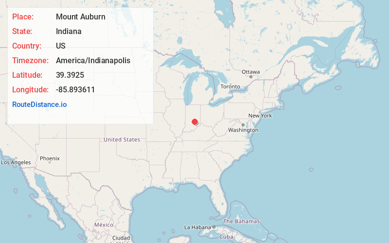
Full AddressMount Auburn, IN 46124
-
Coordinates39.3925, -85.893611
-
LocationMount Auburn , Indiana , US
-
TimezoneAmerica/Indianapolis
-
Page Views0
About Mount Auburn
Mount Auburn is an unincorporated community in Jackson Township, Shelby County, in the U.S. state of Indiana.
Nearby Places
Found 10 places within 50 miles

Marietta
3.4 mi
5.5 km
Marietta, IN
Get directions

Flat Rock
3.9 mi
6.3 km
Flat Rock, IN 47234
Get directions

Edinburgh
4.7 mi
7.6 km
Edinburgh, IN 46124
Get directions
Amity
6.2 mi
10.0 km
Amity, IN 46131
Get directions
Taylorsville
7.3 mi
11.7 km
Taylorsville, IN
Get directions
Clifford
7.7 mi
12.4 km
Clifford, IN
Get directions

Hope
9.0 mi
14.5 km
Hope, IN 47246
Get directions

Nineveh
10.4 mi
16.7 km
Nineveh, IN 46164
Get directions

Franklin
10.5 mi
16.9 km
Franklin, IN
Get directions

Shelbyville
10.9 mi
17.5 km
Shelbyville, IN 46176
Get directions
Location Links
Local Weather
Weather Information
Coming soon!
Location Map
Static map view of Mount Auburn, Indiana
Browse Places by Distance
Places within specific distances from Mount Auburn
Short Distances
Long Distances
Click any distance to see all places within that range from Mount Auburn. Distances shown in miles (1 mile ≈ 1.61 kilometers).