Distance to Mt Aetna, Pennsylvania

Calculating Your Route
Just a moment while we process your request...
Location Information
-
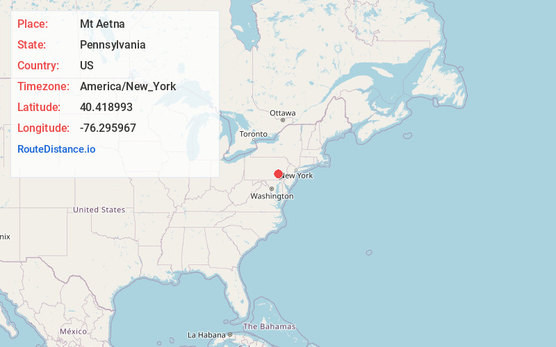
Full AddressMt Aetna, PA
-
Coordinates40.4189931, -76.2959668
-
LocationMt Aetna , Pennsylvania , US
-
TimezoneAmerica/New_York
-
Current Local Time6:36:43 AM America/New_YorkSaturday, May 24, 2025
-
Page Views0
About Mt Aetna
Mount Aetna is a census-designated place in Tulpehocken Township, Berks County, Pennsylvania, United States. It is located along Pennsylvania Route 501 near the border of Lebanon County. The community is named after the active volcano, Mount Etna, in Sicily. As of the 2010 census, the population was 354 residents.
Nearby Places
Found 10 places within 50 miles

Myerstown
3.1 mi
5.0 km
Myerstown, PA 17067
Get directions

Bethel
3.8 mi
6.1 km
Bethel, PA 19507
Get directions

Richland
4.9 mi
7.9 km
Richland, PA
Get directions

Newmanstown
6.5 mi
10.5 km
Newmanstown, PA 17073
Get directions

Avon
7.1 mi
11.4 km
Avon, PA
Get directions
Womelsdorf
7.1 mi
11.4 km
Womelsdorf, PA 19567
Get directions

Fredericksburg
7.2 mi
11.6 km
Fredericksburg, PA 17026
Get directions

North Lebanon Township
7.5 mi
12.1 km
North Lebanon Township, PA
Get directions
Sand Hill
8.2 mi
13.2 km
Sand Hill, PA 17046
Get directions

Schaefferstown
8.3 mi
13.4 km
Schaefferstown, PA
Get directions
Location Links
Local Weather
Weather Information
Coming soon!
Location Map
Static map view of Mt Aetna, Pennsylvania
Browse Places by Distance
Places within specific distances from Mt Aetna
Short Distances
Long Distances
Click any distance to see all places within that range from Mt Aetna. Distances shown in miles (1 mile ≈ 1.61 kilometers).