Distance to Mt Aukum, California

Calculating Your Route
Just a moment while we process your request...
Location Information
-
Full AddressMt Aukum, CA
-
Coordinates38.5569154, -120.7262946
-
LocationMt Aukum , California , US
-
TimezoneAmerica/Los_Angeles
-
Current Local Time9:39:02 PM America/Los_AngelesSunday, June 8, 2025
-
Page Views0
About Mt Aukum
Aukum, officially Mount Aukum, is an unincorporated community in El Dorado County, California. It is located 1 mi northeast of River Pines, 1.2 mi south of Mount Aukum and 8.5 mi northeast of Plymouth, at an elevation of 2,155 feet. The ZIP code is 95656.


Nearby Places
Found 10 places within 50 miles

River Pines
1.2 mi
1.9 km
River Pines, CA
Get directions

Coyoteville
2.1 mi
3.4 km
Coyoteville, CA 95684
Get directions

Fiddletown
4.0 mi
6.4 km
Fiddletown, CA
Get directions
Fair Play
4.4 mi
7.1 km
Fair Play, CA 95684
Get directions
Enterprise
6.6 mi
10.6 km
Enterprise, CA 95669
Get directions
Nashville
6.6 mi
10.6 km
Nashville, CA 95623
Get directions

Somerset
6.6 mi
10.6 km
Somerset, CA 95684
Get directions
Yellowjacket Mine
7.8 mi
12.6 km
Yellowjacket Mine, California 95684
Get directions

Plymouth
8.2 mi
13.2 km
Plymouth, CA 95669
Get directions
Omo Ranch
8.4 mi
13.5 km
Omo Ranch, CA 95684
Get directions
Location Links
Local Weather
Weather Information
Coming soon!
Location Map
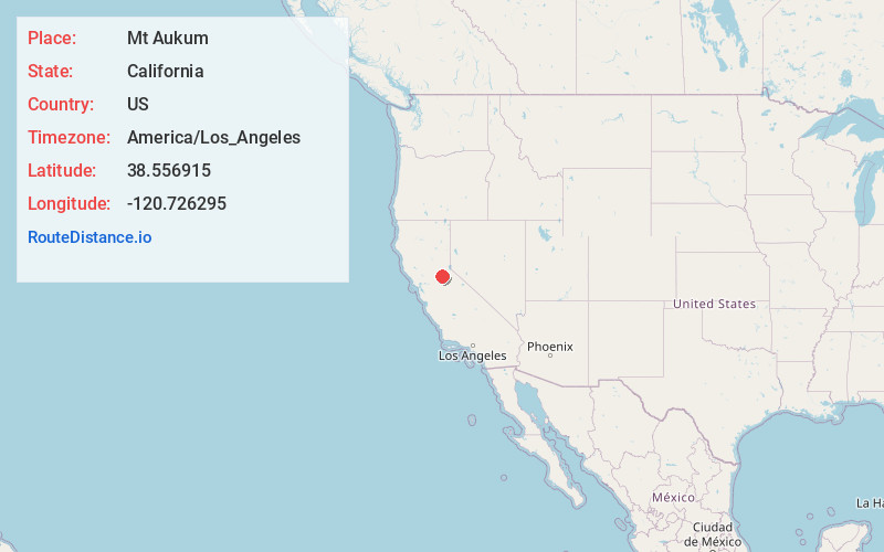
Static map view of Mt Aukum, California
Browse Places by Distance
Places within specific distances from Mt Aukum
Short Distances
Long Distances
Click any distance to see all places within that range from Mt Aukum. Distances shown in miles (1 mile ≈ 1.61 kilometers).