Distance to Mt Carbon, Pennsylvania

Calculating Your Route
Just a moment while we process your request...
Location Information
-
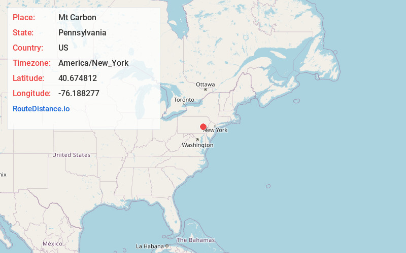
Full AddressMt Carbon, PA 17901
-
Coordinates40.6748124, -76.1882765
-
LocationMt Carbon , Pennsylvania , US
-
TimezoneAmerica/New_York
-
Current Local Time10:43:58 AM America/New_YorkSunday, June 1, 2025
-
Page Views0
About Mt Carbon
Mount Carbon is a borough in Schuylkill County, Pennsylvania, United States, two miles south of Pottsville. It was formed from North Manheim Township in 1864. The population was 88 in the 2020 census. The borough is the smallest municipality in Schuylkill County.
Nearby Places
Found 10 places within 50 miles

Pottsville
1.0 mi
1.6 km
Pottsville, PA 17901
Get directions

Palo Alto
1.2 mi
1.9 km
Palo Alto, PA
Get directions

North Manheim Township
1.7 mi
2.7 km
North Manheim Township, PA
Get directions

Port Carbon
1.8 mi
2.9 km
Port Carbon, PA
Get directions
East Norwegian Township
2.6 mi
4.2 km
East Norwegian Township, PA
Get directions
Renningers
2.7 mi
4.3 km
Renningers, PA 17972
Get directions
Norwegian Township
2.8 mi
4.5 km
Norwegian Township, PA
Get directions

Seltzer
2.8 mi
4.5 km
Seltzer, PA 17901
Get directions
Marlin
3.0 mi
4.8 km
Marlin, PA
Get directions

St Clair
3.2 mi
5.1 km
St Clair, PA
Get directions
Location Links
Local Weather
Weather Information
Coming soon!
Location Map
Static map view of Mt Carbon, Pennsylvania
Browse Places by Distance
Places within specific distances from Mt Carbon
Short Distances
Long Distances
Click any distance to see all places within that range from Mt Carbon. Distances shown in miles (1 mile ≈ 1.61 kilometers).