Distance to Mt Clare, Nebraska

Calculating Your Route
Just a moment while we process your request...
Location Information
-
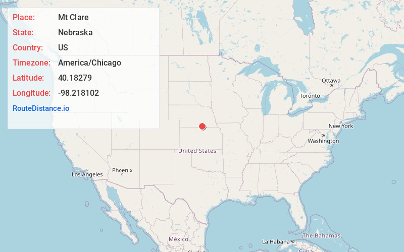
Full AddressMt Clare, NE 68957
-
Coordinates40.1827901, -98.2181018
-
LocationMt Clare , Nebraska , US
-
TimezoneAmerica/Chicago
-
Current Local Time9:07:03 AM America/ChicagoFriday, June 20, 2025
-
Page Views0
About Mt Clare
Mount Clare is an unincorporated community in Nuckolls County, Nebraska, United States.
Nearby Places
Found 10 places within 50 miles

St Stephens
5.3 mi
8.5 km
St Stephens, NE 68957
Get directions

Lawrence
7.9 mi
12.7 km
Lawrence, NE 68957
Get directions
Nelson
8.0 mi
12.9 km
Nelson, NE 68961
Get directions
Smyrna
9.1 mi
14.6 km
Smyrna, Nelson Precinct, NE 68978
Get directions
Bostwick
9.5 mi
15.3 km
Bostwick, NE 68978
Get directions

Guide Rock
9.5 mi
15.3 km
Guide Rock, NE 68942
Get directions
Rosemont
10.5 mi
16.9 km
Rosemont, NE 68930
Get directions
Cowles
12.1 mi
19.5 km
Cowles, NE 68930
Get directions
Deweese
12.6 mi
20.3 km
Deweese, NE
Get directions
Pawnee Village
13.1 mi
21.1 km
Pawnee Village, NE 68942
Get directions
Location Links
Local Weather
Weather Information
Coming soon!
Location Map
Static map view of Mt Clare, Nebraska
Browse Places by Distance
Places within specific distances from Mt Clare
Short Distances
Long Distances
Click any distance to see all places within that range from Mt Clare. Distances shown in miles (1 mile ≈ 1.61 kilometers).