Distance to Guide Rock, Nebraska

Calculating Your Route
Just a moment while we process your request...
Location Information
-
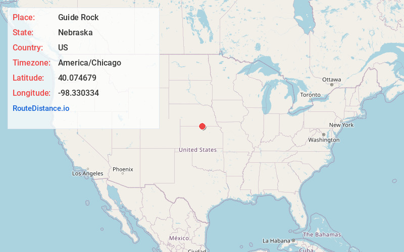
Full AddressGuide Rock, NE 68942
-
Coordinates40.0746788, -98.3303338
-
LocationGuide Rock , Nebraska , US
-
TimezoneAmerica/Chicago
-
Current Local Time9:03:19 AM America/ChicagoThursday, June 19, 2025
-
Page Views0
About Guide Rock
Guide Rock is a village in Webster County, Nebraska, United States. The population was 225 at the 2010 census.


Nearby Places
Found 10 places within 50 miles

Red Cloud
10.1 mi
16.3 km
Red Cloud, NE 68970
Get directions

Superior
14.4 mi
23.2 km
Superior, NE 68978
Get directions
Nelson
16.4 mi
26.4 km
Nelson, NE 68961
Get directions
Blue Hill
19.0 mi
30.6 km
Blue Hill, NE 68930
Get directions
Mankato
20.9 mi
33.6 km
Mankato, KS 66956
Get directions

Campbell
26.2 mi
42.2 km
Campbell, NE
Get directions
Fairfield
27.4 mi
44.1 km
Fairfield, NE 68938
Get directions
Edgar
28.0 mi
45.1 km
Edgar, NE 68935
Get directions
Jewell
29.4 mi
47.3 km
Jewell, KS 66949
Get directions
Glenvil
30.0 mi
48.3 km
Glenvil, NE 68941
Get directions
Location Links
Local Weather
Weather Information
Coming soon!
Location Map
Static map view of Guide Rock, Nebraska
Browse Places by Distance
Places within specific distances from Guide Rock
Short Distances
Long Distances
Click any distance to see all places within that range from Guide Rock. Distances shown in miles (1 mile ≈ 1.61 kilometers).