Distance to Campbell, Nebraska

Calculating Your Route
Just a moment while we process your request...
Location Information
-
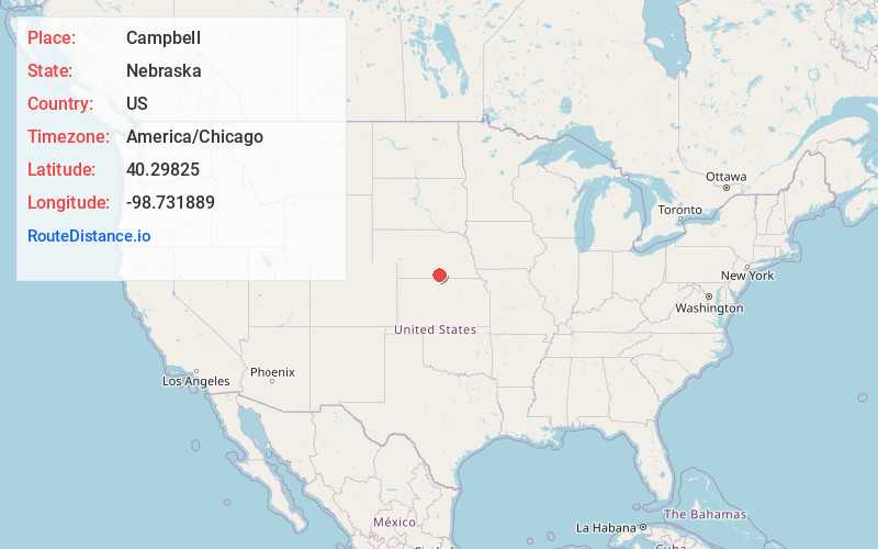
Full AddressCampbell, NE
-
Coordinates40.2982503, -98.7318891
-
LocationCampbell , Nebraska , US
-
TimezoneAmerica/Chicago
-
Current Local Time7:25:13 PM America/ChicagoWednesday, July 2, 2025
-
Page Views0
About Campbell
Campbell is a village in Franklin County, Nebraska, United States. The population was 347 at the 2010 census.

Nearby Places
Found 10 places within 50 miles

Blue Hill
15.0 mi
24.1 km
Blue Hill, NE 68930
Get directions
Hildreth
16.7 mi
26.9 km
Hildreth, NE 68947
Get directions

Minden
17.9 mi
28.8 km
Minden, NE
Get directions

Franklin
18.2 mi
29.3 km
Franklin, NE 68939
Get directions

Red Cloud
18.3 mi
29.5 km
Red Cloud, NE 68970
Get directions

Kenesaw
22.6 mi
36.4 km
Kenesaw, NE 68956
Get directions
Juniata
23.4 mi
37.7 km
Juniata, NE 68955
Get directions
Wilcox
23.5 mi
37.8 km
Wilcox, NE 68982
Get directions

Axtell
24.2 mi
38.9 km
Axtell, NE 68924
Get directions

Hastings
26.8 mi
43.1 km
Hastings, NE
Get directions
Location Links
Local Weather
Weather Information
Coming soon!
Location Map
Static map view of Campbell, Nebraska
Browse Places by Distance
Places within specific distances from Campbell
Short Distances
Long Distances
Click any distance to see all places within that range from Campbell. Distances shown in miles (1 mile ≈ 1.61 kilometers).