Distance to Mt Gay-Shamrock, West Virginia

Calculating Your Route
Just a moment while we process your request...
Location Information
-
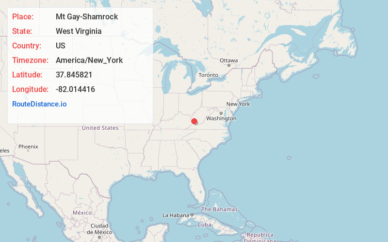
Full AddressMt Gay-Shamrock, WV 25601
-
Coordinates37.8458213, -82.014416
-
LocationMt Gay-Shamrock , West Virginia , US
-
TimezoneAmerica/New_York
-
Current Local Time4:03:38 PM America/New_YorkWednesday, June 18, 2025
-
Page Views0
About Mt Gay-Shamrock
Mount Gay-Shamrock is a census-designated place in Logan County, West Virginia, United States.
Mount Gay-Shamrock has a 2020 population of 1,360. Mount Gay-Shamrock is currently declining at a rate of -2.51% annually. The population was 1,779 at the 2010 census.
Nearby Places
Found 10 places within 50 miles

Black Bottom
0.6 mi
1.0 km
Black Bottom, Mt Gay-Shamrock, WV 25601
Get directions
Thompson Town
0.7 mi
1.1 km
Thompson Town, Mt Gay-Shamrock, WV 25601
Get directions
Monitor
1.1 mi
1.8 km
Monitor, WV 25653
Get directions

Logan
1.2 mi
1.9 km
Logan, WV 25601
Get directions
Aracoma
1.5 mi
2.4 km
Aracoma, WV 25601
Get directions
Wilkinson
1.5 mi
2.4 km
Wilkinson, WV 25653
Get directions
Walnut Hill
1.7 mi
2.7 km
Walnut Hill, WV 25601
Get directions
Baisden
1.9 mi
3.1 km
Baisden, WV 25652
Get directions
Dog Patch
2.0 mi
3.2 km
Dog Patch, WV 25601
Get directions
West Logan
2.1 mi
3.4 km
West Logan, WV 25601
Get directions
Location Links
Local Weather
Weather Information
Coming soon!
Location Map
Static map view of Mt Gay-Shamrock, West Virginia
Browse Places by Distance
Places within specific distances from Mt Gay-Shamrock
Short Distances
Long Distances
Click any distance to see all places within that range from Mt Gay-Shamrock. Distances shown in miles (1 mile ≈ 1.61 kilometers).