Distance to and from Mt Gould Landing, North Carolina
Mt Gould Landing, NC 27957
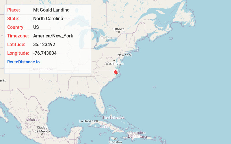
North Carolina
US
America/New_York
Location Information
-
Full AddressMt Gould Landing, NC 27957
-
Coordinates36.1234916, -76.743004
-
LocationNorth Carolina , US
-
TimezoneAmerica/New_York
-
Current Local Time8:53:05 AM America/New_YorkSaturday, May 3, 2025
-
Page Views0
Directions to Nearest Cities
Nearby Places
Found 10 places within 50 miles

Perrytown
3.6 mi
5.8 km
Perrytown, NC 27924
Get directions
Valhalla
4.9 mi
7.9 km
Valhalla, NC 27932
Get directions

Colerain
5.6 mi
9.0 km
Colerain, NC 27924
Get directions
Taylors Store
6.3 mi
10.1 km
Taylors Store, NC 27957
Get directions

Chowan Beach
6.5 mi
10.5 km
Chowan Beach, NC 27932
Get directions
Rosemead
7.9 mi
12.7 km
Rosemead, NC 27924
Get directions
Mill Crossroads
8.0 mi
12.9 km
Mill Crossroads, NC 27932
Get directions

Edenton
8.8 mi
14.2 km
Edenton, NC 27932
Get directions
Buzzards Crossroads
8.8 mi
14.2 km
Buzzards Crossroads, NC 27924
Get directions
Center Hill
9.7 mi
15.6 km
Center Hill, NC 27980
Get directions
Perrytown
3.6 mi
5.8 km
Perrytown, NC 27924
Valhalla
4.9 mi
7.9 km
Valhalla, NC 27932
Colerain
5.6 mi
9.0 km
Colerain, NC 27924
Taylors Store
6.3 mi
10.1 km
Taylors Store, NC 27957
Chowan Beach
6.5 mi
10.5 km
Chowan Beach, NC 27932
Rosemead
7.9 mi
12.7 km
Rosemead, NC 27924
Mill Crossroads
8.0 mi
12.9 km
Mill Crossroads, NC 27932
Edenton
8.8 mi
14.2 km
Edenton, NC 27932
Buzzards Crossroads
8.8 mi
14.2 km
Buzzards Crossroads, NC 27924
Center Hill
9.7 mi
15.6 km
Center Hill, NC 27980
Location Links
Local Weather
Weather Information
Coming soon!
Location Map
Static map view of Mt Gould Landing, North Carolina
Browse Places by Distance
Places within specific distances from Mt Gould Landing
Short Distances
Long Distances
Click any distance to see all places within that range from Mt Gould Landing. Distances shown in miles (1 mile ≈ 1.61 kilometers).