Distance to and from Valhalla, North Carolina
Valhalla, NC 27932
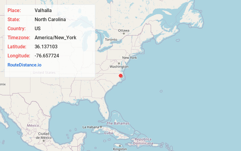
North Carolina
US
America/New_York
Location Information
-
Full AddressValhalla, NC 27932
-
Coordinates36.1371028, -76.6577238
-
LocationNorth Carolina , US
-
TimezoneAmerica/New_York
-
Current Local Time8:14:12 AM America/New_YorkSaturday, May 3, 2025
-
Page Views0
Directions to Nearest Cities
Nearby Places
Found 10 places within 50 miles

Edenton
6.1 mi
9.8 km
Edenton, NC 27932
Get directions

Chowan Beach
6.2 mi
10.0 km
Chowan Beach, NC 27932
Get directions

Colerain
7.6 mi
12.2 km
Colerain, NC 27924
Get directions

Cape Colony
9.2 mi
14.8 km
Cape Colony, NC 27932
Get directions

Hertford
11.3 mi
18.2 km
Hertford, NC 27944
Get directions
Winfall
12.2 mi
19.6 km
Winfall, NC 27944
Get directions
Harrellsville
13.7 mi
22.0 km
Harrellsville, NC 27942
Get directions
Powell Crossroads
14.2 mi
22.9 km
Powell Crossroads, NC 27946
Get directions
Mintonsville
14.3 mi
23.0 km
Mintonsville, NC 27946
Get directions
Askewville
15.8 mi
25.4 km
Askewville, NC 27983
Get directions
Edenton
6.1 mi
9.8 km
Edenton, NC 27932
Chowan Beach
6.2 mi
10.0 km
Chowan Beach, NC 27932
Colerain
7.6 mi
12.2 km
Colerain, NC 27924
Cape Colony
9.2 mi
14.8 km
Cape Colony, NC 27932
Hertford
11.3 mi
18.2 km
Hertford, NC 27944
Winfall
12.2 mi
19.6 km
Winfall, NC 27944
Harrellsville
13.7 mi
22.0 km
Harrellsville, NC 27942
Powell Crossroads
14.2 mi
22.9 km
Powell Crossroads, NC 27946
Mintonsville
14.3 mi
23.0 km
Mintonsville, NC 27946
Askewville
15.8 mi
25.4 km
Askewville, NC 27983
Location Links
Local Weather
Weather Information
Coming soon!
Location Map
Static map view of Valhalla, North Carolina
Browse Places by Distance
Places within specific distances from Valhalla
Short Distances
Long Distances
Click any distance to see all places within that range from Valhalla. Distances shown in miles (1 mile ≈ 1.61 kilometers).