Distance to Mt Hood National Forest, Oregon

Calculating Your Route
Just a moment while we process your request...
Location Information
-
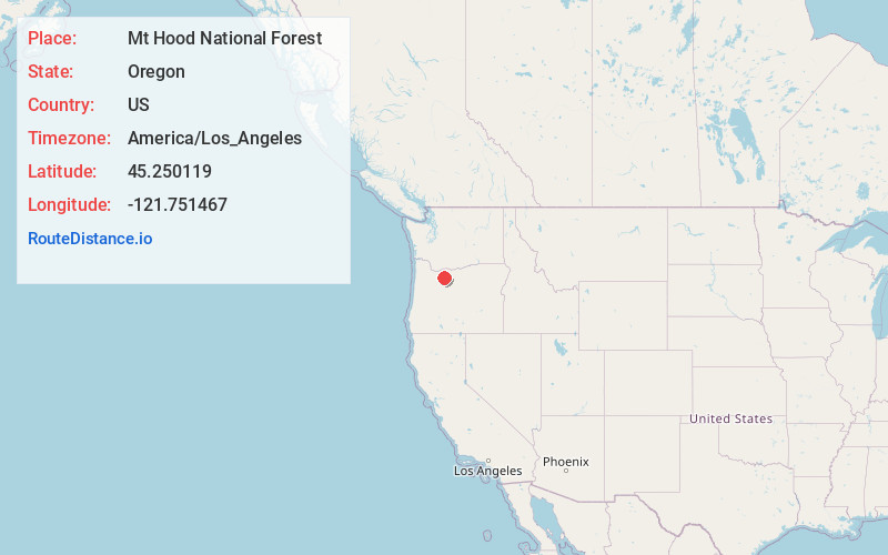
Full AddressMt Hood National Forest, Oregon 97028
-
Coordinates45.2501185, -121.7514669
-
LocationOregon , US
-
TimezoneAmerica/Los_Angeles
-
Current Local Time8:35:20 PM America/Los_AngelesWednesday, May 21, 2025
-
Page Views0


Nearby Places
Found 10 places within 50 miles

Government Camp
3.7 mi
6.0 km
Government Camp, OR 97028
Get directions

Barlow Pass
3.9 mi
6.3 km
Barlow Pass, Oregon 97028
Get directions

Mt Hood
8.9 mi
14.3 km
Mt Hood, Oregon 97041
Get directions

Rhododendron
9.5 mi
15.3 km
Rhododendron, OR 97049
Get directions

Mt Hood Village
12.9 mi
20.8 km
Mt Hood Village, OR
Get directions

Lost Lake
16.9 mi
27.2 km
Lost Lake, Oregon 97014
Get directions

Lost Lake Resort
17.4 mi
28.0 km
Lost Lake Resort, OR 97014
Get directions

Three Lynx
17.8 mi
28.6 km
Three Lynx, OR 97023
Get directions

Clackamas County
18.2 mi
29.3 km
Clackamas County, OR
Get directions

Ripplebrook
18.3 mi
29.5 km
Ripplebrook, OR 97023
Get directions
Location Links
Local Weather
Weather Information
Coming soon!
Location Map
Static map view of Mt Hood National Forest, Oregon
Browse Places by Distance
Places within specific distances from Mt Hood National Forest
Short Distances
Long Distances
Click any distance to see all places within that range from Mt Hood National Forest. Distances shown in miles (1 mile ≈ 1.61 kilometers).