Distance to Mt Hope, Ohio

Calculating Your Route
Just a moment while we process your request...
Location Information
-
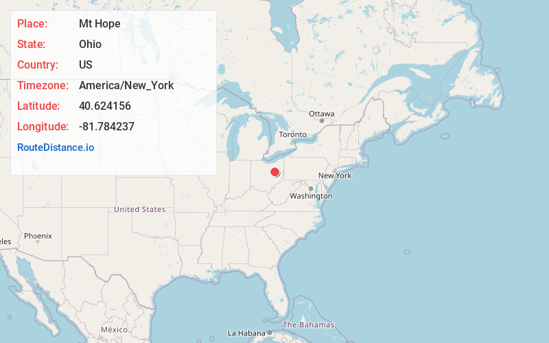
Full AddressMt Hope, OH 44654
-
Coordinates40.6241562, -81.7842373
-
LocationMt Hope , Ohio , US
-
TimezoneAmerica/New_York
-
Current Local Time1:35:04 AM America/New_YorkSaturday, June 14, 2025
-
Page Views0
About Mt Hope
Mount Hope is an unincorporated community and census-designated place in eastern Salt Creek Township, Holmes County, Ohio, United States. At the 2020 census, Mount Hope had a population of 197.

Nearby Places
Found 10 places within 50 miles

Berlin
4.4 mi
7.1 km
Berlin, OH 44654
Get directions

Winesburg
4.7 mi
7.6 km
Winesburg, OH
Get directions

Fredericksburg
5.8 mi
9.3 km
Fredericksburg, OH 44627
Get directions

Walnut Creek
6.6 mi
10.6 km
Walnut Creek, OH
Get directions

Holmesville
7.4 mi
11.9 km
Holmesville, OH 44633
Get directions

Wilmot
8.3 mi
13.4 km
Wilmot, OH
Get directions

Kidron
8.3 mi
13.4 km
Kidron, OH
Get directions

Millersburg
8.5 mi
13.7 km
Millersburg, OH 44654
Get directions

Apple Creek
9.3 mi
15.0 km
Apple Creek, OH 44606
Get directions

Dundee
9.6 mi
15.4 km
Dundee, OH 44624
Get directions
Location Links
Local Weather
Weather Information
Coming soon!
Location Map
Static map view of Mt Hope, Ohio
Browse Places by Distance
Places within specific distances from Mt Hope
Short Distances
Long Distances
Click any distance to see all places within that range from Mt Hope. Distances shown in miles (1 mile ≈ 1.61 kilometers).