Distance to Mt Hope, Wisconsin

Calculating Your Route
Just a moment while we process your request...
Location Information
-
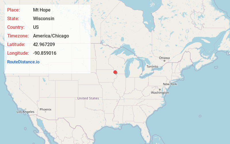
Full AddressMt Hope, WI 53816
-
Coordinates42.9672091, -90.8590158
-
LocationMt Hope , Wisconsin , US
-
TimezoneAmerica/Chicago
-
Current Local Time12:23:59 AM America/ChicagoTuesday, June 24, 2025
-
Website
-
Page Views0
About Mt Hope
Mount Hope is a village in Grant County, Wisconsin, United States. The population was 215 at the 2020 census. The village is located within the Town of Mount Hope.

Nearby Places
Found 10 places within 50 miles

Bloomington
6.5 mi
10.5 km
Bloomington, WI 53804
Get directions

Wauzeka
8.2 mi
13.2 km
Wauzeka, WI 53826
Get directions

Fennimore
10.4 mi
16.7 km
Fennimore, WI 53809
Get directions

Lancaster
11.2 mi
18.0 km
Lancaster, WI 53813
Get directions

Bagley
13.0 mi
20.9 km
Bagley, WI 53801
Get directions

Boscobel
13.9 mi
22.4 km
Boscobel, WI 53805
Get directions

Prairie du Chien
15.4 mi
24.8 km
Prairie du Chien, WI 53821
Get directions

Eastman
15.9 mi
25.6 km
Eastman, WI
Get directions

McGregor
16.8 mi
27.0 km
McGregor, IA 52157
Get directions

Marquette
17.0 mi
27.4 km
Marquette, IA 52157
Get directions
Location Links
Local Weather
Weather Information
Coming soon!
Location Map
Static map view of Mt Hope, Wisconsin
Browse Places by Distance
Places within specific distances from Mt Hope
Short Distances
Long Distances
Click any distance to see all places within that range from Mt Hope. Distances shown in miles (1 mile ≈ 1.61 kilometers).