Distance to Mt Houmas, Louisiana

Calculating Your Route
Just a moment while we process your request...
Location Information
-
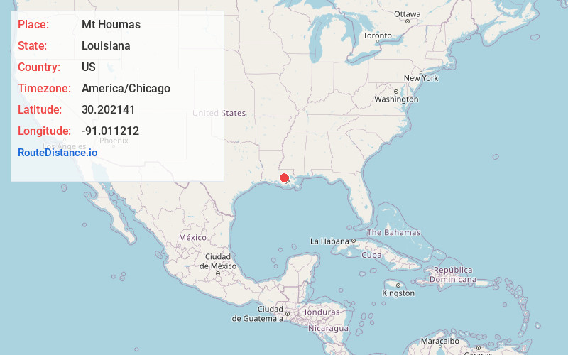
Full AddressMt Houmas, Geismar, LA 70734
-
Coordinates30.202141, -91.0112121
-
LocationGeismar , Louisiana , US
-
TimezoneAmerica/Chicago
-
Current Local Time5:53:53 PM America/ChicagoFriday, June 20, 2025
-
Page Views0
Nearby Places
Found 10 places within 50 miles

Geismar
1.2 mi
1.9 km
Geismar, LA 70734
Get directions
Hohen Solms
2.0 mi
3.2 km
Hohen Solms, LA 70346
Get directions
Southwood
2.6 mi
4.2 km
Southwood, Geismar, LA 70734
Get directions
Cannonburg
5.5 mi
8.9 km
Cannonburg, LA 70788
Get directions

Gonzales
6.0 mi
9.7 km
Gonzales, LA 70737
Get directions

Darrow
6.0 mi
9.7 km
Darrow, LA 70725
Get directions
Noel
6.1 mi
9.8 km
Noel, LA 70346
Get directions
Duplessis
6.4 mi
10.3 km
Duplessis, LA 70737
Get directions
Smoke Bend
6.5 mi
10.5 km
Smoke Bend, LA 70346
Get directions

St Gabriel
6.5 mi
10.5 km
St Gabriel, LA
Get directions
Location Links
Local Weather
Weather Information
Coming soon!
Location Map
Static map view of Mt Houmas, Louisiana
Browse Places by Distance
Places within specific distances from Mt Houmas
Short Distances
Long Distances
Click any distance to see all places within that range from Mt Houmas. Distances shown in miles (1 mile ≈ 1.61 kilometers).