Distance to Mt Marion, New York

Calculating Your Route
Just a moment while we process your request...
Location Information
-
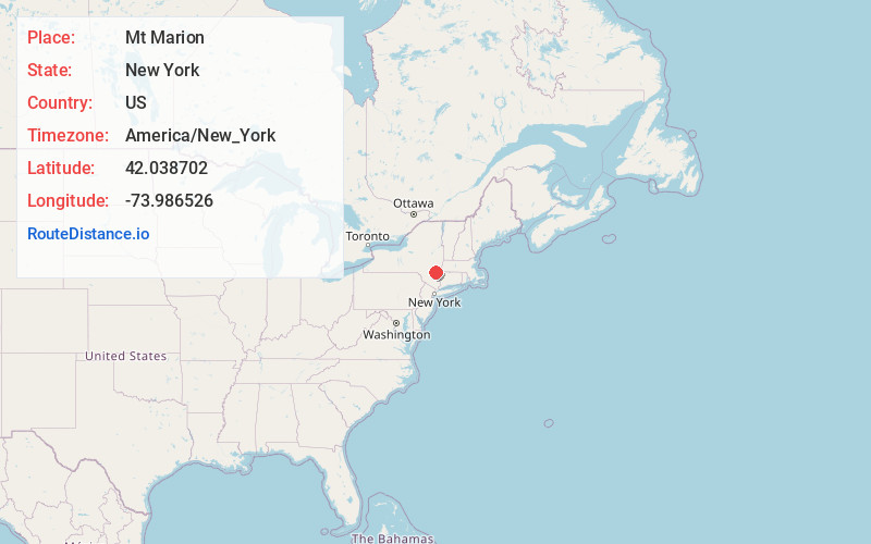
Full AddressMt Marion, NY 12456
-
Coordinates42.0387024, -73.9865257
-
LocationMt Marion , New York , US
-
TimezoneAmerica/New_York
-
Current Local Time11:01:44 PM America/New_YorkThursday, June 19, 2025
-
Page Views0
About Mt Marion
Mount Marion is a hamlet in the Town of Saugerties, Ulster County, New York, United States. The community is 3.2 miles south-southwest of the village of Saugerties. It is also 6.8 miles east of the town of Woodstock. Plattekill Creek runs through Mount Marion before joining Esopus Creek.
Nearby Places
Found 10 places within 50 miles

Glenerie
0.8 mi
1.3 km
Glenerie, Saugerties, NY 12477
Get directions
Glenerie Lake Park
1.7 mi
2.7 km
Glenerie Lake Park, Ulster, NY 12477
Get directions
High Woods
2.2 mi
3.5 km
High Woods, Saugerties, NY 12477
Get directions

Saugerties
3.2 mi
5.1 km
Saugerties, NY 12477
Get directions
Halihan Hill
3.9 mi
6.3 km
Halihan Hill, Kingston, NY 12401
Get directions

Lake Katrine
4.1 mi
6.6 km
Lake Katrine, NY
Get directions
Barrytown
4.2 mi
6.8 km
Barrytown, NY 12507
Get directions
Jockey Hill
4.9 mi
7.9 km
Jockey Hill, Kingston, NY 12401
Get directions
Katsbaan
5.1 mi
8.2 km
Katsbaan, Saugerties, NY 12477
Get directions
East Kingston
5.9 mi
9.5 km
East Kingston, NY 12401
Get directions
Location Links
Local Weather
Weather Information
Coming soon!
Location Map
Static map view of Mt Marion, New York
Browse Places by Distance
Places within specific distances from Mt Marion
Short Distances
Long Distances
Click any distance to see all places within that range from Mt Marion. Distances shown in miles (1 mile ≈ 1.61 kilometers).