Distance to Mt Misery, New Jersey

Calculating Your Route
Just a moment while we process your request...
Location Information
-
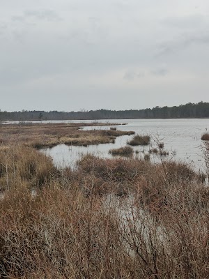
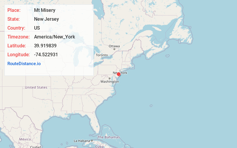
Full AddressMt Misery, Woodland, NJ 08015
-
Coordinates39.9198385, -74.5229307
-
LocationWoodland , New Jersey , US
-
TimezoneAmerica/New_York
-
Current Local Time11:20:58 PM America/New_YorkThursday, June 19, 2025
-
Page Views0


Nearby Places
Found 10 places within 50 miles

Upton
1.0 mi
1.6 km
Upton, Pemberton Township, NJ 08015
Get directions
Lebanon Lake Estates
2.4 mi
3.9 km
Lebanon Lake Estates, Woodland, NJ 08015
Get directions
Deer Park Branch
3.2 mi
5.1 km
Deer Park Branch, Manchester Township, NJ 08015
Get directions

Four Mile Circle
4.1 mi
6.6 km
Four Mile Circle, Woodland, NJ 08088
Get directions
Hanover Furnace
4.3 mi
6.9 km
Hanover Furnace, Pemberton Township, NJ 08015
Get directions
Bullock
4.7 mi
7.6 km
Bullock, Woodland, NJ 08015
Get directions
Lower Mill
4.9 mi
7.9 km
Lower Mill, Pemberton Township, NJ 08015
Get directions
Ong
5.2 mi
8.4 km
Ong, Southampton Township, NJ 08088
Get directions
Johnson Place
6.4 mi
10.3 km
Johnson Place, Woodland, NJ 08088
Get directions

Woodland
7.0 mi
11.3 km
Woodland, NJ
Get directions
Location Links
Local Weather
Weather Information
Coming soon!
Location Map
Static map view of Mt Misery, New Jersey
Browse Places by Distance
Places within specific distances from Mt Misery
Short Distances
Long Distances
Click any distance to see all places within that range from Mt Misery. Distances shown in miles (1 mile ≈ 1.61 kilometers).