Distance to Mt Mitchell, North Carolina

Calculating Your Route
Just a moment while we process your request...
Location Information
-
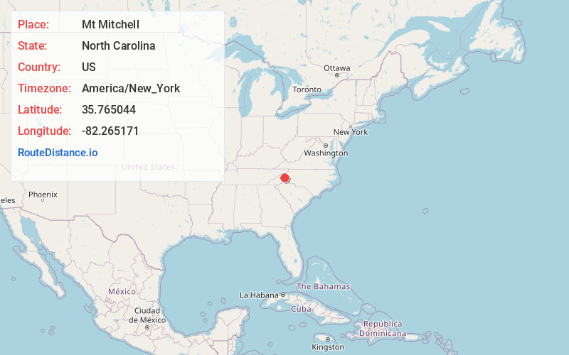
Full AddressMt Mitchell, North Carolina 28714
-
Coordinates35.765044, -82.2651709
-
LocationNorth Carolina , US
-
TimezoneAmerica/New_York
-
Current Local Time9:10:41 AM America/New_YorkSaturday, June 21, 2025
-
Page Views0
About Mt Mitchell
6,684 ft. peak, the highest east of the Mississippi, with visitor services & panoramas at the top.


Nearby Places
Found 10 places within 50 miles

Eskota
3.3 mi
5.3 km
Eskota, NC 28714
Get directions
Hamrick
4.8 mi
7.7 km
Hamrick, NC 28714
Get directions
Murchison
5.3 mi
8.5 km
Murchison, NC 28714
Get directions
Graphite
7.3 mi
11.7 km
Graphite, NC 28762
Get directions

Sunnyvale
7.5 mi
12.1 km
Sunnyvale, NC 28752
Get directions
Bowlens Creek
7.9 mi
12.7 km
Bowlens Creek, NC 28714
Get directions
Dillingham
8.0 mi
12.9 km
Dillingham, NC 28709
Get directions

Montreat
8.4 mi
13.5 km
Montreat, NC
Get directions
Bowditch
8.7 mi
14.0 km
Bowditch, NC 28714
Get directions
Rockview
9.3 mi
15.0 km
Rockview, NC 28709
Get directions
Location Links
Local Weather
Weather Information
Coming soon!
Location Map
Static map view of Mt Mitchell, North Carolina
Browse Places by Distance
Places within specific distances from Mt Mitchell
Short Distances
Long Distances
Click any distance to see all places within that range from Mt Mitchell. Distances shown in miles (1 mile ≈ 1.61 kilometers).