Distance to Mt Mourne, North Carolina

Calculating Your Route
Just a moment while we process your request...
Location Information
-
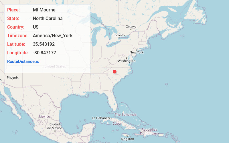
Full AddressMt Mourne, NC 28115
-
Coordinates35.5431921, -80.8471774
-
NeighborhoodMount Mourne
-
LocationMt Mourne , North Carolina , US
-
TimezoneAmerica/New_York
-
Current Local Time10:56:08 PM America/New_YorkSunday, June 1, 2025
-
Page Views0
About Mt Mourne
Mount Mourne is an unincorporated community in Iredell County, North Carolina, United States. Mount Mourne is located on North Carolina Highway 115, 3.5 miles southwest of Mooresville. The Mount Mourne post office was originally established on April 5, 1805 with James Houston as postmaster.
Nearby Places
Found 10 places within 50 miles

Davidson
3.0 mi
4.8 km
Davidson, NC
Get directions

Mooresville
3.3 mi
5.3 km
Mooresville, NC
Get directions

Cornelius
4.3 mi
6.9 km
Cornelius, NC
Get directions

Hopewell
5.6 mi
9.0 km
Hopewell, NC 28036
Get directions
Shepherds
6.5 mi
10.5 km
Shepherds, NC 28115
Get directions

Lake Norman of Catawba
7.0 mi
11.3 km
Lake Norman of Catawba, NC
Get directions
Webbs
7.4 mi
11.9 km
Webbs, Westport, NC 28037
Get directions
Mazeppa
7.8 mi
12.6 km
Mazeppa, NC 28115
Get directions
Westport
7.9 mi
12.7 km
Westport, NC
Get directions
Bells Crossroads
8.0 mi
12.9 km
Bells Crossroads, NC 28117
Get directions
Location Links
Local Weather
Weather Information
Coming soon!
Location Map
Static map view of Mt Mourne, North Carolina
Browse Places by Distance
Places within specific distances from Mt Mourne
Short Distances
Long Distances
Click any distance to see all places within that range from Mt Mourne. Distances shown in miles (1 mile ≈ 1.61 kilometers).