Distance to Mt Olive, Alabama

Calculating Your Route
Just a moment while we process your request...
Location Information
-
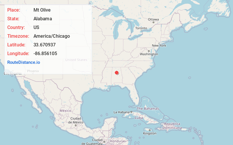
Full AddressMt Olive, AL
-
Coordinates33.6709369, -86.8561047
-
LocationMt Olive , Alabama , US
-
TimezoneAmerica/Chicago
-
Current Local Time6:39:37 PM America/ChicagoWednesday, June 4, 2025
-
Page Views0
About Mt Olive
Mount Olive, also spelled Mt. Olive is an unincorporated community and a census-designated place in Jefferson County, Alabama. Its location is in the suburbs of Birmingham. As of the 2010 census, the population of the community is 4,079.


Nearby Places
Found 10 places within 50 miles

Gardendale
2.6 mi
4.2 km
Gardendale, AL
Get directions

Fultondale
5.4 mi
8.7 km
Fultondale, AL
Get directions

Forestdale
7.3 mi
11.7 km
Forestdale, AL
Get directions

Adamsville
7.5 mi
12.1 km
Adamsville, AL
Get directions

Tarrant
7.6 mi
12.2 km
Tarrant, AL 35217
Get directions

Pinson
10.0 mi
16.1 km
Pinson, AL
Get directions

Center Point
10.1 mi
16.3 km
Center Point, AL 35215
Get directions

Birmingham
10.9 mi
17.5 km
Birmingham, AL
Get directions

Irondale
12.6 mi
20.3 km
Irondale, AL
Get directions
Grayson Valley
12.6 mi
20.3 km
Grayson Valley, AL 35235
Get directions
Location Links
Local Weather
Weather Information
Coming soon!
Location Map
Static map view of Mt Olive, Alabama
Browse Places by Distance
Places within specific distances from Mt Olive
Short Distances
Long Distances
Click any distance to see all places within that range from Mt Olive. Distances shown in miles (1 mile ≈ 1.61 kilometers).