Distance to Mt Olive, Ohio

Calculating Your Route
Just a moment while we process your request...
Location Information
-
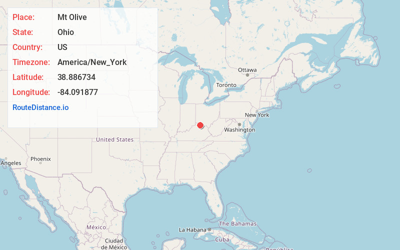
Full AddressMt Olive, OH 45106
-
Coordinates38.8867343, -84.0918769
-
LocationMt Olive , Ohio , US
-
TimezoneAmerica/New_York
-
Current Local Time2:34:32 AM America/New_YorkSunday, June 15, 2025
-
Page Views0
About Mt Olive
Mount Olive is an unincorporated community in Clermont County, in the U.S. state of Ohio.
Nearby Places
Found 10 places within 50 miles

Wiggonsville
3.0 mi
4.8 km
Wiggonsville, OH 45106
Get directions

Felicity
3.3 mi
5.3 km
Felicity, OH
Get directions
Saltair
3.9 mi
6.3 km
Saltair, Tate Township, OH 45106
Get directions
Stringtown
4.5 mi
7.2 km
Stringtown, OH 45120
Get directions

Bethel
5.3 mi
8.5 km
Bethel, OH 45106
Get directions

Hamersville
6.2 mi
10.0 km
Hamersville, OH 45130
Get directions
Chilo
7.0 mi
11.3 km
Chilo, OH
Get directions

Moscow
7.7 mi
12.4 km
Moscow, OH 45153
Get directions
Hulington
7.9 mi
12.7 km
Hulington, Monroe Township, OH 45106
Get directions
Bantam
8.2 mi
13.2 km
Bantam, Tate Township, OH 45106
Get directions
Location Links
Local Weather
Weather Information
Coming soon!
Location Map
Static map view of Mt Olive, Ohio
Browse Places by Distance
Places within specific distances from Mt Olive
Short Distances
Long Distances
Click any distance to see all places within that range from Mt Olive. Distances shown in miles (1 mile ≈ 1.61 kilometers).